Blog
On The Map
Role
Industry
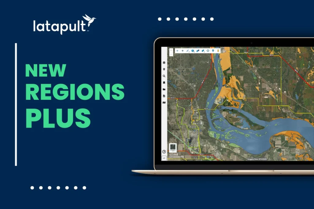
Introducing Regions Plus: A More Connected Approach to Land Intelligence
Successful GIS Workflow Expansion Relies on Support System Evolution
Cloud GIS and Interoperability Fuel Smart Multi-Stakeholder Workflows

It’s Time to Build Smarter and Move Faster with Innovative New Features
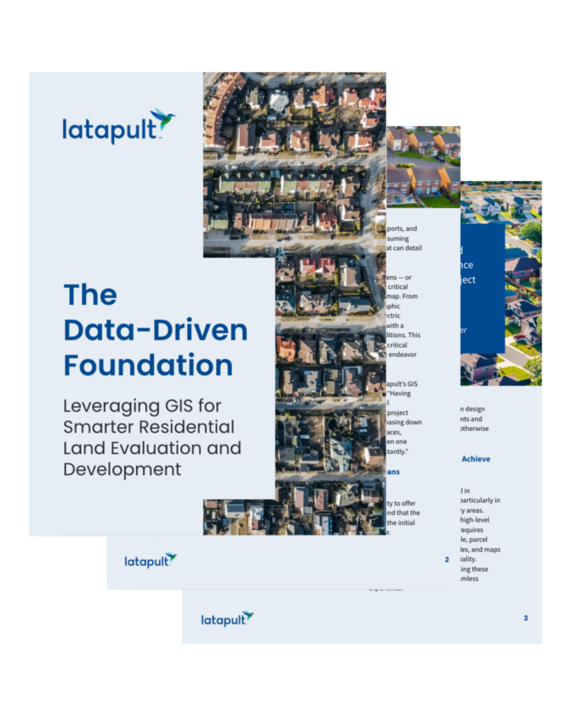
The Data-Driven Foundation: Leveraging GIS for Smarter Residential Land Evaluation and Development
Forgo Tabs for a Smarter, Affordable Land Use Analysis Approach

Ultimate Guide: GIS for Enhanced Teamwork and Stakeholder Engagement
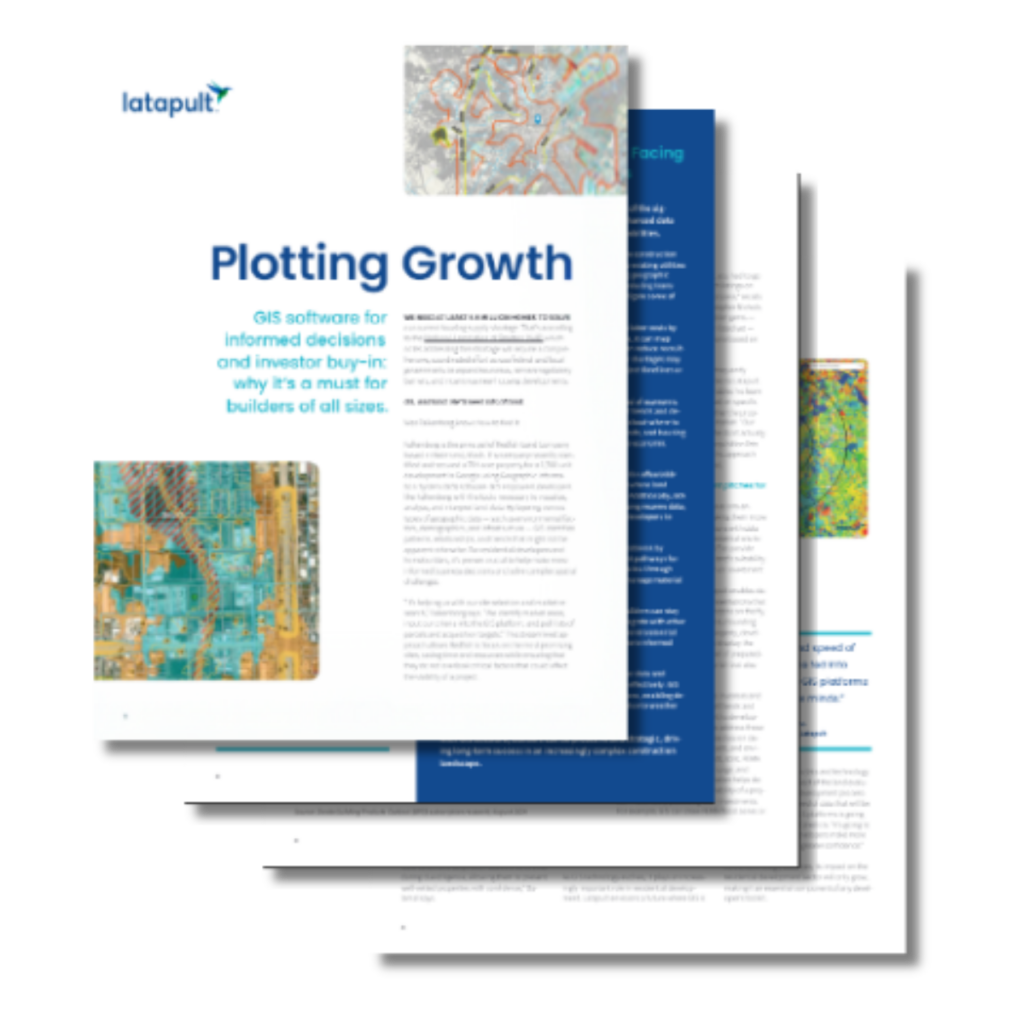
GIS Software for Informed Decisions and Investor Buy-In: Why it’s a Must for Builders of All Sizes
Real Benefits of GIS Integrations with Latapult Custom

Land Acquisition: How-To Guide for Getting the Best Return from Your Next Project

Using GIS Mapping for Regional and National Land Searches

How GIS Land Mapping Improves Cross-Departmental Collaboration