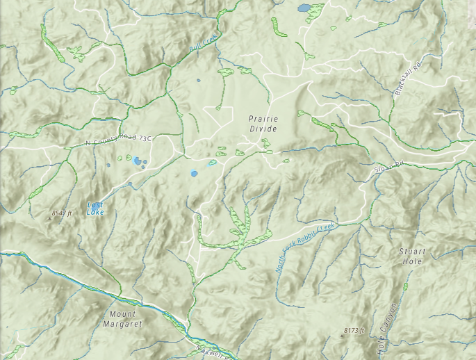
3 Use Cases for GIS Software in Land Acquisition and Development Workflows
Use GIS to Save Time & Make Informed Land Decisions
It’s no secret that land data is not only difficult to obtain, but also to assess. GIS technology alleviates this burden, helping land and real estate professionals save time and improve efficiency. Discover the 12 essential components of a GIS solution by downloading our playbook.
How Industry Leaders Are Applying GIS to Their Processes
Land projects are susceptible to workflow challenges, whether it’s spending hours sifting through disparate data or dissecting property information in multiple platforms. Learn how land and real estate experts Colliers International, Parker Scott Properties, and a solar developer use GIS technology to tackle industry obstacles.
Required information
"*" indicates required fields