

Land Mapping Software for All Industries
Partner with Latapult and allow your industry expertise to shine through GIS and dynamic mapping.
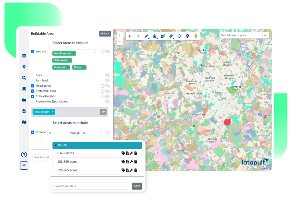
GIS Data and Mapping for Any Industry
Through comprehensive data, dynamic mapping, and collaborative tools, professionals across a number of industries can make land-smart decisions tailored to their goals.
Site Selection Software
Helping site selectors make location decisions they can stand behind.

Find the Right Sites Faster
Narrow options without wasting time. Assess land characteristics across regions to quickly identify sites that align with client goals.

Consistent Evaluation Criteria
Compare locations objectively. Apply the same data and standards across sites to deliver recommendations clients can trust and defend.

Stronger Client Recommendations
Stand behind every decision. Use visual insights and land intelligence to help clients understand tradeoffs, risks, and opportunities before making a final selection.
Renewable Energy
Powering renewable projects with the clarity and confidence required to move from possibility to production.


Early Site Feasibility
Identify viable sites sooner. Evaluate land against environmental constraints, zoning, topography, and proximity to existing infrastructure to quickly understand where renewable projects can realistically move forward.

Reduced Development Risk
Surface challenges before they stall progress.
Use detailed GIS data to uncover wetlands, setbacks, and infrastructure limitations early.

Faster Project Momentum
Bring critical land data into one view so teams spend less time researching and more time advancing projects.
Residential Development Software
Helping homebuilders turn land into livable communities with fewer unknowns and stronger decisions at every step.


Smarter Land Planning
Plan communities with fewer surprises. Assess land conditions, infrastructure and amenity access, and environmental constraints to support better subdivision and site planning decisions.

Clear Buildability Insight
Understand what land can support. Evaluate parcels against key development criteria to reduce rework and delays later in the build process.

More Confident Timelines
Keep projects moving as demand grows. Access reliable land data early to support informed decisions and more predictable development schedules.
Data Center Site Selection
Supporting high-stakes infrastructure decisions with the speed and precision data center development demands.

Infrastructure-Ready Site Identification
Find locations that meet technical requirements. Locate parcels with the right access to power, connectivity, and infrastructure using up-to-date GIS data.

Accelerated Due Diligence
Reduce time spent validating sites. Bring parcel, ownership, and infrastructure data together to eliminate weeks of manual research.

Lower Risk Site Selection
Make defensible location decisions. Evaluate environmental and regulatory factors early to avoid costly surprises later.
Commercial Development Software
Bringing sharper location insight to commercial investments where every parcel carries long-term impact.


Stronger Location Evaluation
Understand what makes a site viable. Analyze parcel data, surrounding infrastructure, and site constraints to support informed commercial investment decisions.

Consistent Feasibility Analysis
Compare opportunities with confidence. Apply the same evaluation criteria across multiple sites to better prioritize development options.

Clearer Investment Justification
Support decisions with data-backed insight. Use maps and land intelligence to clearly communicate site value to stakeholders and partners.
Civil Engineering & Construction
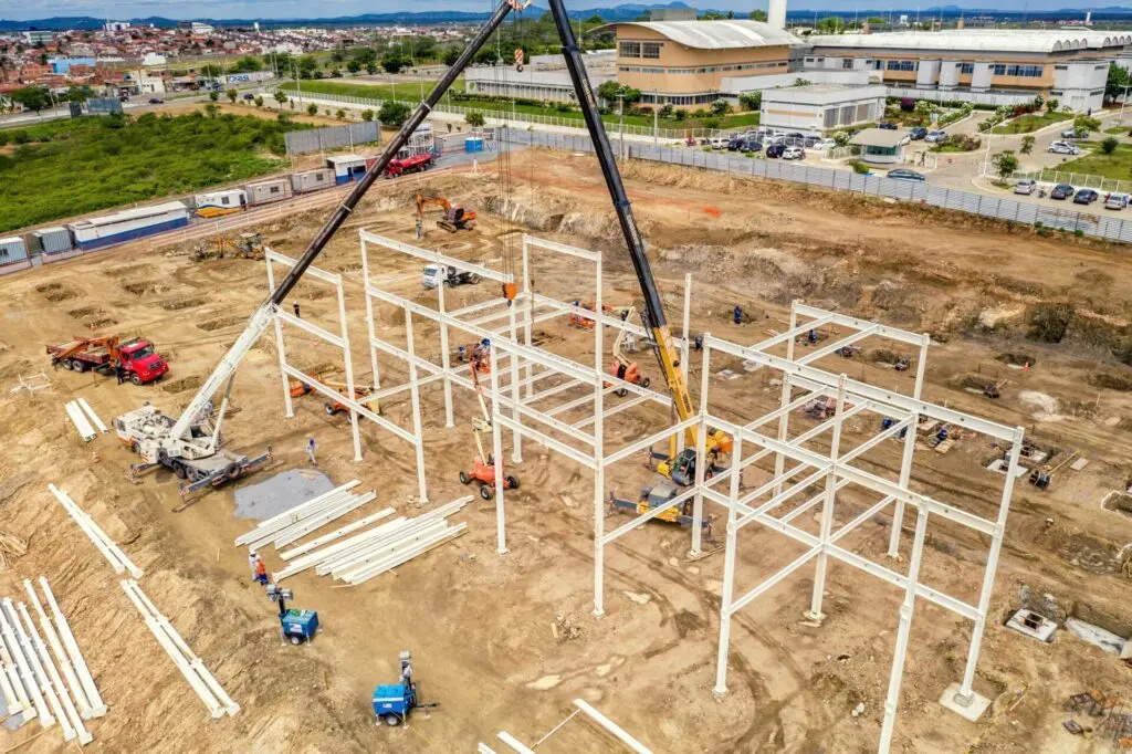
Equipping engineering and construction teams with the land intelligence needed to plan and build with certainty.


Better Site Understanding
Visualize conditions before work begins. Access detailed land data to inform planning, design, and construction decisions from day one.
Reduced On-Site Uncertainty
Anticipate challenges earlier. Identify environmental, topographic, and infrastructure considerations that could impact construction.
Continuity Across Project Phases
Maintain context from start to finish. Carry site intelligence through planning, construction, and post-build review without losing critical details.
Economic Development Software
Empowering communities to plan, position, and grow through clearer geographic insight.


Data-Driven Community Planning
Plan improvements with clearer insight. Use detailed land and demographic data to identify opportunities for growth and investment.
Stronger Site Marketing
Turn data into a compelling picture of opportunity. Create visual maps and data-backed narratives that help attract businesses and developers.
More Informed Decision-Making
Support long-term economic goals. Bring reliable GIS data into planning conversations to guide strategic development efforts that uplift communities.
Utility Mapping Software
Strengthening infrastructure planning with reliable land and spatial intelligence.

Clear Infrastructure Visibility
Understand assets and surroundings. Access external infrastructure and land data to support planning and operational decisions.
Improved Capital Planning
Plan investments with better context. Evaluate land and infrastructure conditions to validate capital improvement strategies.

Centralized Operational Insight
Reduce fragmentation across teams. Bring land and infrastructure data into one place to support coordination and service planning.