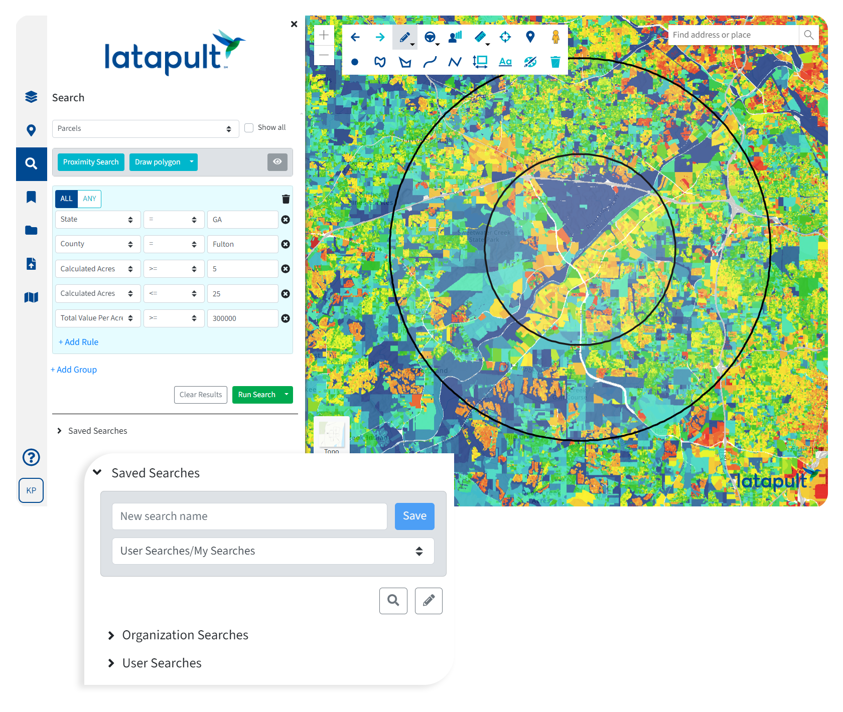
Bigger Data for Smarter Decision Making
Latapult’s GIS software offers comprehensive, up-to-date land data for project-transforming insights.

The Gold Standard of GIS Mapping Software
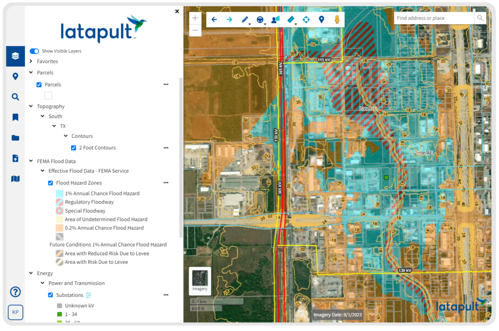
250+ Data Layers All in One Place
Our platform acts as a centralized hub that contains millions of dollars of GIS data, powering environmental, demographic, geospatial, and topographic insights.
Data Spanning the Entire Nation
Our extensive GIS data coverage facilitates quality land searches for both large-scale and local queries, so you can stay one step ahead no matter where your business takes you.
Most Up-to-date Data
Our data is the most comprehensive you’ll find, updated on a monthly, quarterly, or yearly basis, depending on trusted provider sources.
Comprehensive, Regularly Refreshed GIS Data
Data is essential, but ever-changing. We never stop searching for new datasets to add to our platform and are always improving, refining, and expanding how our clients can apply GIS data to understand land.
Thorough and up-to-date information is our backbone. Our data is refreshed on a monthly, quarterly or yearly basis, depending on our trusted provider sources. Curious when our data was last updated?


