Pricing
Choose the best software plan to suit your needs.
Gain access to comprehensive nationwide data and intuitive mapping tools backed by a team of trusted geospatial experts for location-smart business decisions.

Launch your site evaluation, acquisition, and development workflows.
Latapult GIS Software Free Trial
Metros
$149/mo
Save up to 50% with additional users
- 250+ data layers
- Unlimited PDF maps
- Import photos, SHP, CAD, CSV, and KML
- Advanced queries
- Natural resource & census reports
- Property ownership & travel areas data
- Create, organize & share custom pins
Need access to five (or more) metros or energy data layers? Consider our States Package to save.
States
$299/mo
Save up to 50% with additional users
All features included in the Metros plan, plus:
- Property, government, data center, environment, & transportation datasets
- Fiber dataset
- Energy data layers including transmission lines, substations, & power plants
- Large parcel insights (5+ acres layer)
Need access to five (or more) states? Consider our USA Package to save.
USA
$999/mo
Save up to 50% with additional users
All features included in the Metros & States plans, plus:
- Data access & insights for all 50 states
- Unlimited access to all our comprehensive data and mapping tools
Details About Latapult GIS Software
Easy-to-use Tools and Features
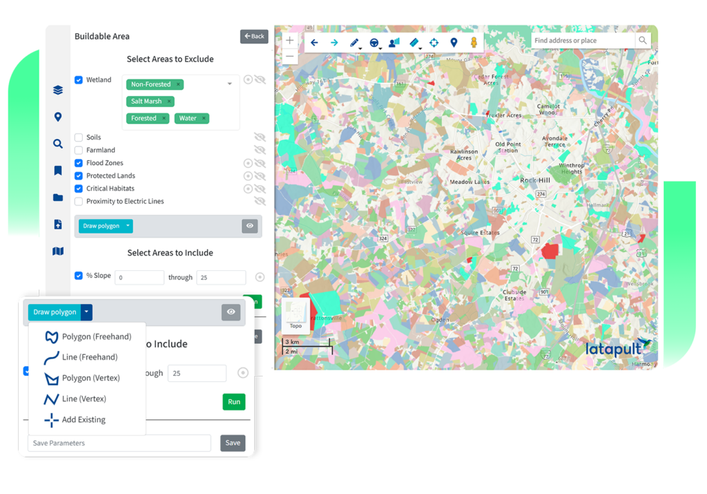
From interactive charts to buildable areas, our scalable, intuitive features help clients evaluate, acquire, and develop sites while speeding up operations 50x over.
Full List of Features250+ Data Layers
Latapult provides data coverage of historic places, HUBZone, wind, elevation, wetlands, soils, points of interest, land zoning, census, traffic counts, roads, boundaries, flood zones, and more!
Full List of DatasetsCustom Layers and Software Integrations
If you need to import attribute-level data, level up project tracking, or integrate with other systems like a CRM, Latapult Custom is for you. Let us tailor our software to your organizational needs.
Discover Latapult CustomFAQs
-
How often is Latapult’s property data updated?
-
How many people can access Latapult under one plan?
-
What devices does Latapult work with?
-
Do I need to understand GIS software to use Latapult?
-
What regions does Latapult cover?
-
How can I access energy datasets?
Our energy datasets are available at the state and USA subscription levels. Metro subscriptions do not include access to energy data.
-
How do I use other systems like CAD along with GIS?
-
What data is available with Latapult?
-
What do land developers use Latapult for?
-
What do solar developers use Latapult for?
-
Why do AEC firms use Latapult?