About Latapult
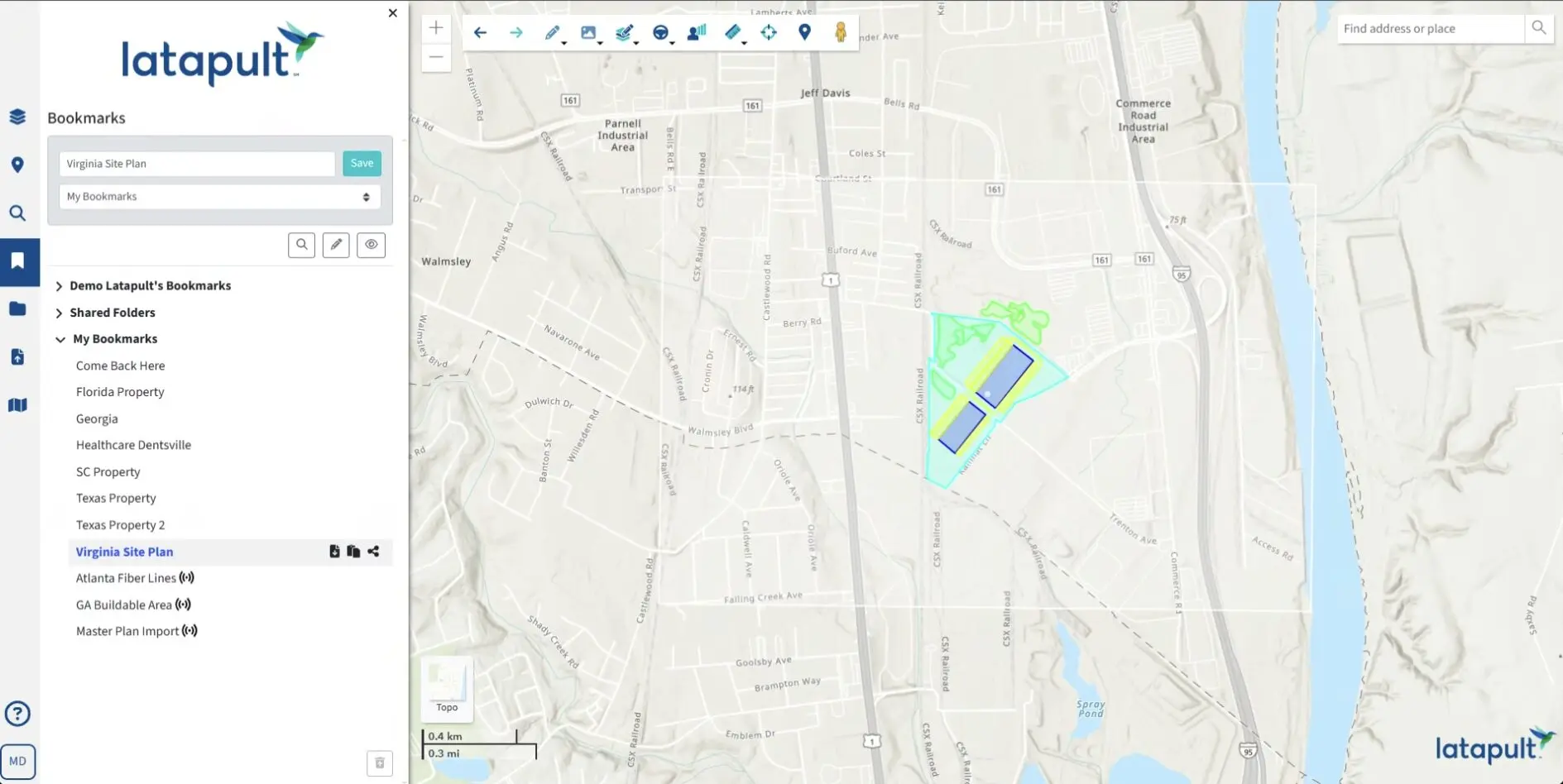
Created for business professionals by geospatial experts, discover the gold standard of GIS software and get the insights you need for smarter business decisions. Our platform is built on data from ESRI and Cotality, combined with intuitive mapping and collaboration tools. Get all your data, maps, and land insights in one place.
Our roots are in GIS mapping.
Are you struggling to make informed decisions with disparate data sources and static maps? Let Latapult boost your confidence.
From our roots as GIS experts with deep experience in geospatial data analysis, we’ve created a platform that offers the most comprehensive data and user-friendly collaboration tools to power projects across industries based on current environmental, demographic, geospatial, and topographic information.
We are the GIS experts so you don’t have to be. We are passionate about blending complex data, science, and art altogether in a beautiful way that is simple and digestible – enabling you to make quick, informed decisions with confidence.

We act as a trusted partner to amplify client expertise.
We want clients to feel empowered to conduct their own suitability analysis and glean relevant project insights. But if and when they need help, they have the personalized support of our in-house experts.
We support over 300 businesses nationwide in uncovering insights that transform projects in industries ranging from renewable energy and utilities to homebuilding. Whether quickly and strategically justifying, approving, negotiating, and walking away from land deals, or determining the best approach to parcel development, our clients are confident in their decisions.
Since our inception, we’ve helped clients speed up land research 50 times over, saving them thousands of dollars a piece in money and resources. It’s why many of our clients use our platform daily and take us wherever they go.

We’re constantly improving and innovating.
Data is essential, but ever-changing. We never stop searching for new datasets or introducing new tools and features to our platform so we can power project-transforming insights for clients. We’re always improving, refining, and expanding how people can apply GIS mapping to understand land.
We love pushing the limits and discovering fun and creative ways to communicate information across industries, experience levels, and geographies.

Integrate our GIS software with your CRM or project management system.
We understand that sometimes organizations benefit from a tailor-made platform. Our team of geospatial experts works with clients to customize our software – whether they need to import attribute-level data, improve workflows with deeper project tracking, or integrate with other systems like a CRM.
We love helping clients take our data and collaboration tools to the next level to solve their unique challenges.

Our team of GIS experts
Our dynamic mapping software with top-notch collaboration tools wouldn’t be what it is without our dedicated team of GIS developers and geospatial analysts. Meet the people behind our raved-about innovation and expert client support teams.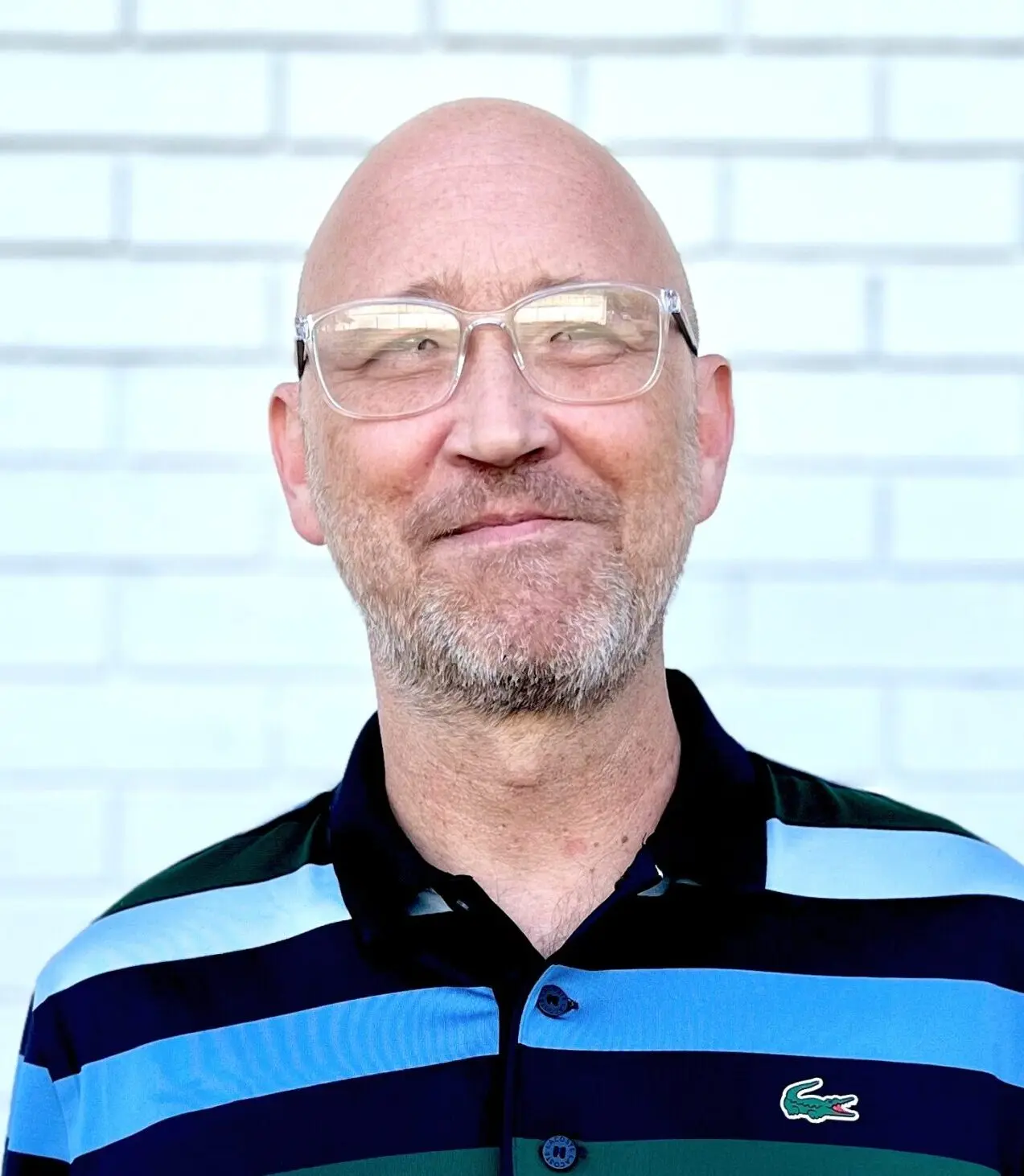
Chris possesses over 30 years of experience in GIS and remote sensing technology — serving as general manager and leader of the Latapult team from day one.
Chris has channelled his passion for creating simple yet powerful geospatial solutions. With the collaborative spirit and dynamic energy of Latapult’s multifaceted team, Chris excels in managing our full-cycle product development from concept to market.
Armed with a Master of Science in Environmental Studies, Chris is dedicated to helping clients make faster, smarter decisions with his vast knowledge and experience. Plus,…

Megan’s love for geography blossomed as she traveled extensively during her childhood, exploring new destinations and discovering the world. Her fascination with maps began early when her parents challenged her to navigate family road trips using a car atlas.
With a Master’s Degree in Urban and Regional Planning and over a decade of professional GIS experience, Megan excels in spatial data analysis, map design, data acquisition, database design, and graphic design. She delights in crafting personalized support systems for all our clients, ensuring their needs are met with…

Spencer brings his decade and a half of GIS experience to the table, excelling in geospatial analysis, digitization, database design, field mapping, and map creation. He collaborates with clients across the U.S. to continually improve our data quality and usability.
Spencer’s career journey is impressive and diverse. He has worked as a Project Geologist, Associate Geologist, and Staff Geologist, where he gained valuable experience and honed his skills. Additionally, he served as a Geologist in South Africa, further expanding his expertise. Early in his career, Spencer also interned with a…

Kristi brings a decade and a half of expertise in GIS analysis and graphic design to the table. With a rich background working for municipal planning and transportation departments in Scottsdale and Mesa, Arizona, she has honed her skills in spatial data acquisition and geoprocessing, database and geodatabase design, cartographic design, spatial modeling, web programming, marketing materials, and more.
Kristi’s journey began with a Bachelor’s Degree in Geography and a Minor in Music. She later earned her Master’s Degree in Geographic Information Systems, along with a GIS Baccalaureate…

Lauren brings her A-game to our development team as a graduate of the Full Stack Web Development program from Bloom Institute of Technology. With a Masters of Science in Chemistry from St. John’s University, she infuses our projects with a fresh perspective and innovative problem-solving skills.
Lauren is involved in the development and design of our application, databases, and backend architecture. She constantly pushes the envelope, keeping up with new and rapidly changing technologies to ensure our program is always at its best.
Outside of work, Lauren loves staying active…

John has a unique blend of skills, having completed a Bachelor of Science degree in Computer Science and a Bachelor of Arts degree in English. His passion for learning shines through in his enthusiasm for software architecture and database management.
In his free time, John dives into the latest software advances and brings his ideas to life through personal projects, all fueled by his insatiable curiosity. He’s excited to combine his love for software engineering with his growing interest in maps as he steps into the realm of GIS!

Matt earned his BA in Computer Science from Saint Louis University and has built a career turning complex problems into simple, effective solutions through software development. With expertise in modern web technologies, he brings a creativity-first approach to functional applications that make life easier for users with an emphasis on building an incredible experience.
Matt has contributed to projects involving mapping tools and data visualization, showcasing his ability to combine technical skills with practical business applications. Outside of work, he enjoys staying active at the gym, experimenting in the kitchen,…

Alonda is originally from Savannah, GA and has been in the financial services industry for over 12 years. She speculates in full-cycle accounting and has also worked in risk management, investment banking, as well as client account management. Alonda earned her bachelor’s degree in mathematics with a minor in computer science as well as her master’s in education with a focus on secondary education. Her time in the classroom allowed her to gain experience in rapid problem solving and emotional intelligence.
Alonda enjoys coding in her free time and is…

Brennan, a familiar face at Latapult, previously interned with us during several summer and winter sessions. In 2024, he graduated from Georgia Southern University with a Bachelor’s Degree in Geography and a Minor in GIS, showcasing his academic dedication and passion.
Brennan brings his extensive education and deep appreciation for map design and intelligent cartography into every project at Latapult. We’re thrilled to have him back on board, infusing our team with his expertise and witty personality!

Growing up in an entrepreneurial household gave Deanna a front-row seat to the evaluation of risks and rewards in small business ownership, fostering her deep appreciation for hard work and strategic decision-making. Over the years, she has honed best practices that have led to a proven track record of developing winning strategies, driving revenue growth, and creating impactful client experiences. With an undergraduate degree from Brooklyn College and a graduate degree from City University of New York – Hunter College, along with over a decade and a half of sales…
FAQs
-
Why do AEC firms use Latapult?
-
What do land developers use Latapult for?
-
How do I use other systems like CAD along with GIS?
-
How often is Latapult’s property data updated?
-
How many people can access Latapult under one plan?
-
Do I need to understand GIS software to use Latapult?
-
How can I access energy datasets?
Our energy datasets are available at the state and USA subscription levels. Metro subscriptions do not include access to energy data.
-
What data is available with Latapult?
-
What devices does Latapult work with?
-
What do solar developers use Latapult for?
-
What regions does Latapult cover?


Blog
View all blogs3 Steps to Streamlining Your Real Estate Workflow with GIS

How GIS Technology Saves Time and Money During Site Selection

4 Ways Technology Can Help Your Buyers Evaluate Commercial Real Estate Investments

Latapult Wrapped 2025: A Year of Land Intelligence Told Through Data
Land Developers Trust GIS Tools for Fast, Easy Site Vetting
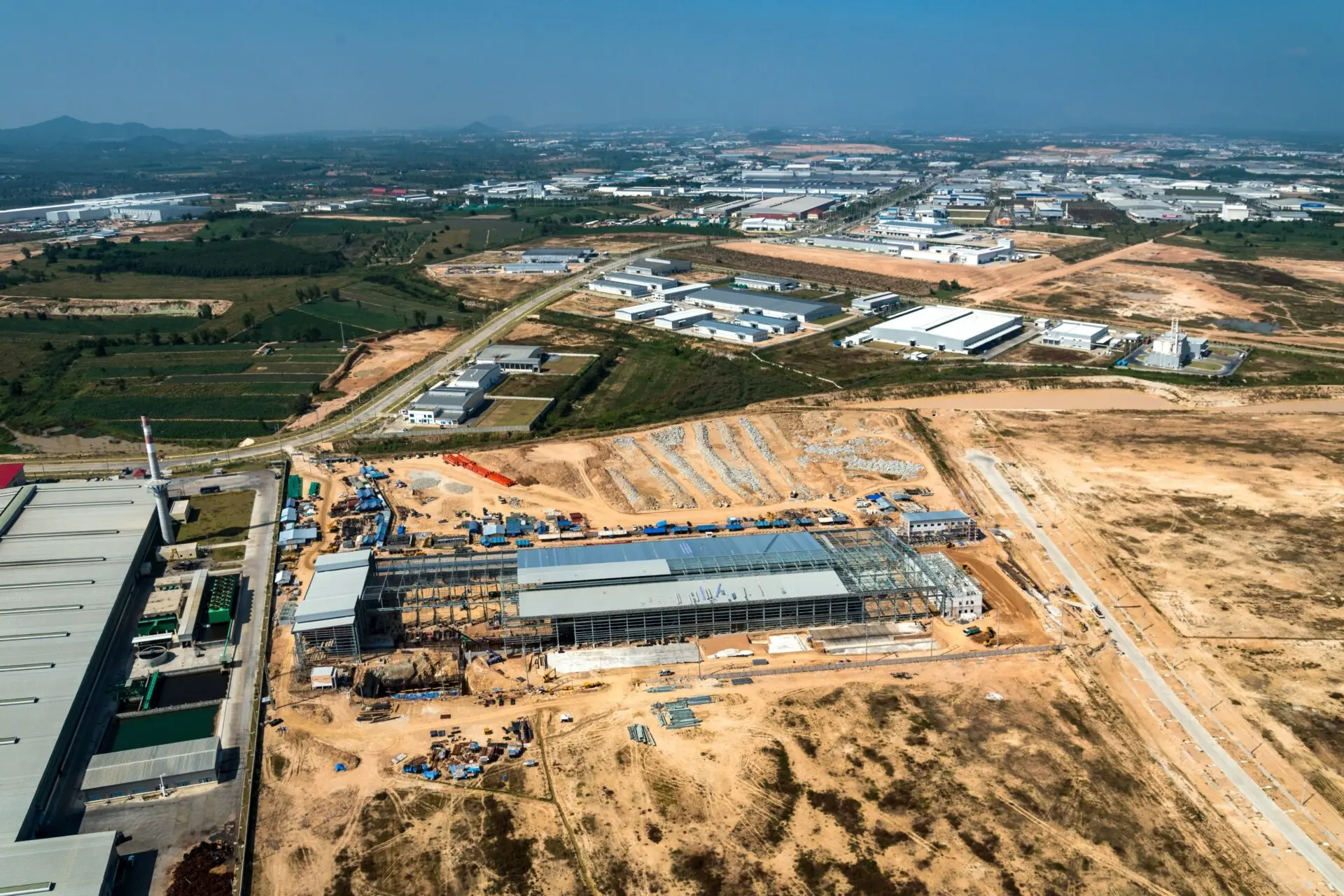
GIS Fuels Economic Growth with Data and Insights to Empower Development Teams
Cloud GIS and Interoperability Fuel Smart Multi-Stakeholder Workflows

It’s Time to Build Smarter and Move Faster with Innovative New Features
