5 Overlooked GIS Land Mapping Data Sources for Developers
October 15, 2019
An unintended consequence of GIS software is that it allows for so many different types of data sources to be mined. While such an abundance of land data sounds like a benefit, not all the available data is essential for land developers to obtain, visualize and analyze, and sources such as county maps or flood zone maps can often be difficult to access and understand.
Some of the most common GIS data sources include those of national government agencies, such as:
- United States Geological Survey (USGS)
- National Resources Conservation Service (NRCS)
- United States Department of Agriculture (USDA)
- National Aeronautics and Space Administration (NASA)
- United States Census Bureau
Additionally, local city, county and state government jurisdictions, open-source GIS software such as OpenStreetMap and ESRI, and navigation-based consumer web maps are also readily available GIS data sources.
5 GIS Land Mapping Data Sources to Know
As land developers have no shortage of data at their disposal, there are some sources that, for a variety of reasons, are overlooked or even unknown, despite many practical benefits. The GIS data sources every land developer must know include:
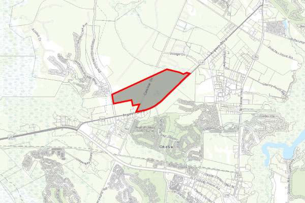
1. Parcel Data – Land developer stakeholders have traditionally shied away from obtaining and analyzing parcel (property) data because there hasn’t been a centralized, extensive and affordable source to manage the process. But parcel data can provide important information for property analysis, such as sale price, acreage, zoning code type and assessed property value.
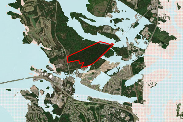
2. FEMA Flood Hazard Zone Data – When land developers search for a property, they may or may not be told by the broker or property tax card if it is in a flood zone, which can affect the price of development drastically. FEMA flood zone maps should never be overlooked.
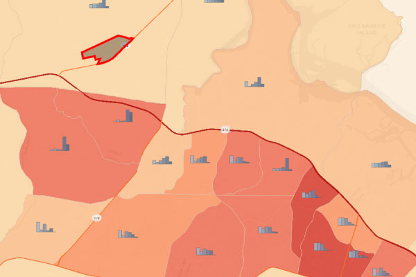
3. U.S. Census American Community Survey (ACS) – Many land developers are unaware that every year a small sample of U.S. residents are surveyed to create Census data estimates. Although “estimates,” such data is very reliable in showing important trends regarding income, population change, migration and home prices on regional and city scales on a more frequent basis than the official census.
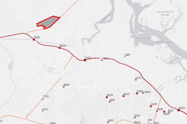
4. Traffic Counts – The Department of Transportation (DOT) in each state produces yearly traffic count data on all classes of roads. Such GIS transportation data is not commonly used by people outside the traffic engineering industry, but it can provide important data to make business location and land use planning decisions.
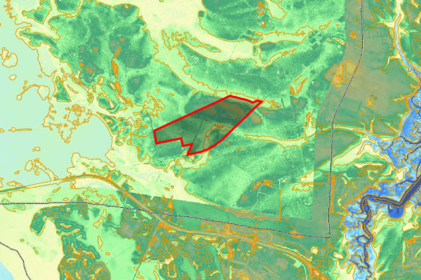
5. LiDAR-derived Topography and Contour Data – When developing land, an exhaustive topographic (ground surface elevation) survey of the lot or area may be required before any planning can begin. This initial planning process can be quicker and cheaper by using highly accurate, LiDAR-derived elevation contour data.
Simplifying Access to GIS Land Mapping Data
Each of these data sources provides spatial data layers that can help answer specific questions, such as what are the soils like on my site?, but often the data is too large or too complex for the average user.
Designed by GIS analysts, Latapult eliminates this issue, serving as a centralized hub to access and map all available historic parcel data, as well as other current environmental, demographic, geospatial and topographic information. This includes the most current information available on overlooked sources, such as parcel data, flood zones, Census estimates, traffic counts and LiDAR data.
For land developers, this unprecedented on-demand accessibility to important land information is finally available at the click of a button, and it’s accelerating smart, data-driven decisions about valuable land like never before.


