Economic Development on the Map
February 22, 2024
The Role of GIS in Economic Development
Economic development agencies and departments across the country work continuously to attract business owners and developers of all sizes to establish operations and investments in their areas. The promise of hundreds, and in some cases, thousands of jobs and economic growth an area can experience when a company relocates, makes the work of economic development professionals invaluable to a city, county, or region.
The core function of these agencies is to promote the expansion of existing industries and the growth of new ventures. This is done by taking advantage of the area’s natural resources, built environment, and human capital. Accurately depicting this is necessary for an economic development agency to successfully pursue an industry. Utilizing property data visualization and property analysis capabilities of Geographic Information Systems (GIS) can be an invaluable tool for economic development professionals and industries that seek to thrive in their region.
All About North Carolina’s Southeast
For Latapult client North Carolina’s Southeast (NCSE), target industries include textiles, agriculture and food processing, aviation and aerospace, biotechnology, defense, energy, and metalworking. NCSE is a Regional Economic Development Partnership representing public and private interests. It includes 18 counties and major cities, such as Fayetteville, Jacksonville, and Wilmington, North Carolina. The area is also home to large regional assets such as the Port of Wilmington, one of a select few ports in the Southern US that can accommodate and store large amounts of containers and cargo. To attract business to the region in North Carolina, NCSE’s work heavily relies on demonstrating how the region’s infrastructure, land use, financial incentives, workforce capabilities, and educational institutions can benefit their expansion or relocation.
Capturing the elements that make a region attractive is a challenge for any robust economic development organization. With Latapult, NCSE has an inclusive and easily accessible way for business leaders to visualize all that the region has to offer by providing a web-based, interactive map available to the public. The creation of NCSE’s Latapult application is due in large part to the North Carolina Biotechnology Center, a private, nonprofit corporation that supports biotechnology research, job creation, education, and policy formation in the state. The Biotechnology Center is the first of its kind in the United States and its mission funds endeavors that support the industry, such as NCSE’s launch of its GIS application. The application is geared towards the recruitment of alternative energy, agriculture, food production, and chemical firms, with a primary focus on industrial biotechnology (biotech).
What is Biotech?
The biotech industry creates products and improves processes while reducing waste created by humans and animals. Biotech is a vast industry that does everything from keeping the lights on by converting animal waste to energy, to putting food on the table by developing innovative ways to grow crops to keep up with US food demand, to improving health with the development of new medicines.
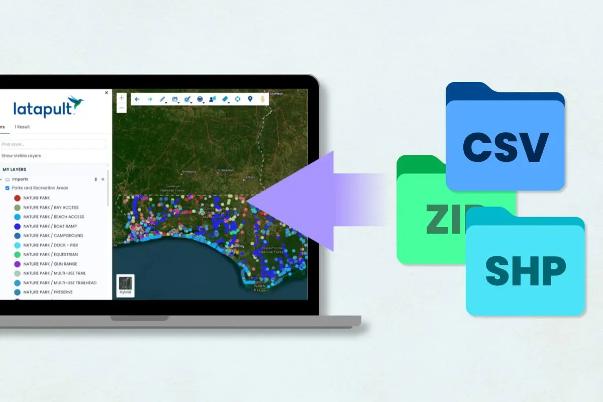
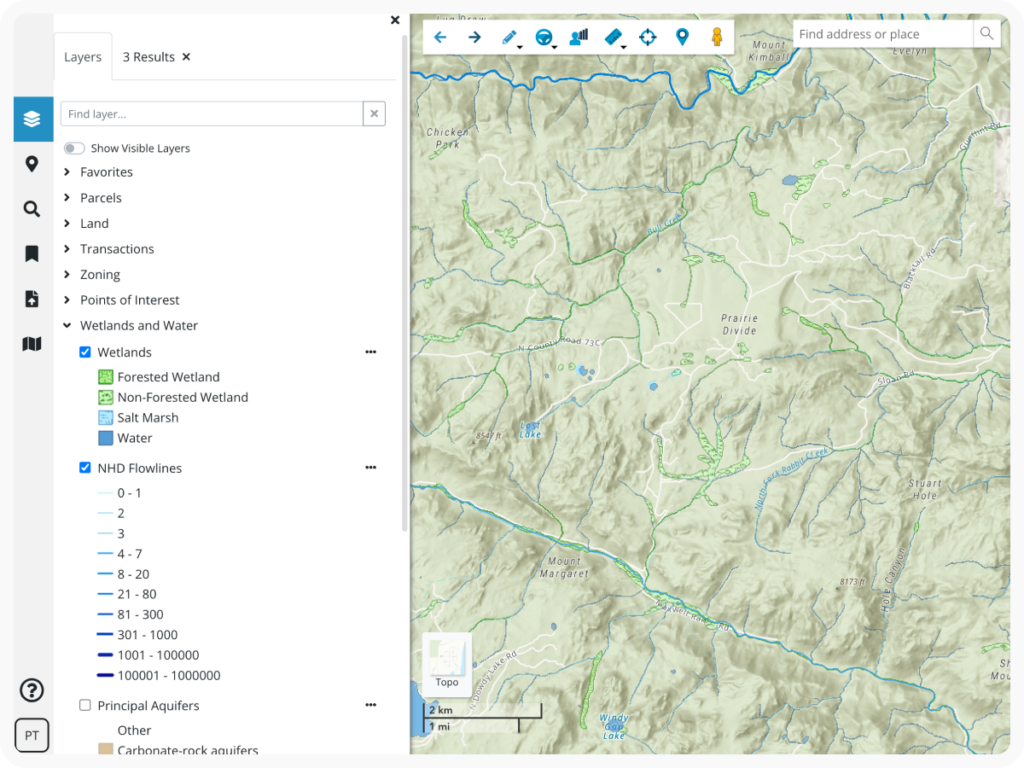
GIS mapping is particularly helpful with location analysis for the industrial biotech sector because it’s all about locating and harvesting existing organic matter, created in large part by the agricultural industry. The Latapult GIS Application depicts sites and nearby assets through the configuration of property data and various GIS layers on industrial operations, bio-renewable companies, agricultural sites, soil types, and forestry volumes. Regional data, such as major highways and rail, National Wetlands Inventory, and FEMA flood maps, are also included. Latapult gives users the ability to visualize and analyze optimal locations for businesses based on proximity to these data-rich biotech layers.
NCSE employs Latapult to provide an accurate depiction of the region’s value. Using a GIS Application gives NCSE the ability to fully demonstrate the concentration of companies in their region and the outputs that biotech companies use to do their work. The ability to overlay additional GIS layers, like transportation networks, puts all the pieces together for NCSE and potential investors to perform accurate land and asset analysis. Users have access to the Latapult application anytime, anywhere, and from any device.
Seamless Integration with Daily Business Practices
The biggest change for NCSE, since launching Latapult, is the departure from paper-based work. They are no longer just working off static printed maps and written reports; their abilities have become streamlined, and the Latapult platform is now an integrated part of their marketing. NCSE Business Development Director Joe Melvin states “Latapult provided us with access to companies that might not have contacted us. Our region is better able to promote our abundant assets and value proposition with this tool”. Latapult’s standard functions, such as the ability to search layers, ease of access, and mobile capabilities, are additional positives for NCSE. “[Latapult] is now a part of who we are and what we do. It is a worldwide, web-based program that we can take to conferences and put in people’s hands”, says Melvin.
Businesses cannot be established or expanded unless the proper environment is in place for them to be successful. Utilizing GIS technology through Latapult has been transformative for NCSE. By displaying the region’s assets to target multiple industries and its analytical capabilities, Latapult brings to life the risk versus reward that all businesses face when making the decision to grow in today’s unpredictable climate. Utilizing Latapult helps in answering the tough questions and finding solutions that will keep residents working and businesses of all forms investing in the community into the future.
Check out how NCSE tracks and markets assets and resources in their region by visiting their Latapult app. Ready to transform economic development through land analysis in your neck of the woods? Get started with Latapult today!