GIS Technology Eases the Headache of Zoning Maps
March 28, 2024
Zoning, in theory, is a simple and straightforward concept that prevents potentially controversial land development, such as a loud bar, from being built adjacent to a detached family home. But as cities and regions grow, and demographics and politics change, zoning becomes increasingly complex, especially for land stakeholders who must keep track of the ever-changing nature of zoning districts and ordinances.
For land owners, potential buyers and developers, staying current on all zoning rules and regulations and understanding zoning codes is key to avoiding wasting investment, project delays and fines associated with disobeying zoning ordinances. Unfortunately, zoning has become very dynamic and is often muddled by legal battles and political agendas that land stakeholders don’t always have an appetite for. Nonetheless, zoning is rarely as cut and dry as a simple map may suggest due to economic and political pressures often outside of owners’ and developers’ control.
How Zoning Currently Works
Currently, land developers must manually research government websites for land use and zoning maps, rules and regulations in each of the counties or municipalities where their parcels and projects are located. Most of the time, the laws and specifications for each zoning district in a county or municipal jurisdiction are laid out in the municipal code, which is a large, standardized text document that is available for public viewing on most county and municipality websites.
At best, a county or municipality’s website will provide freely accessible zoning maps that are searchable by address or zoning code of a property. Unfortunately, most websites only provide a static map, and specifics such as property lines and street data are not included, leaving the land stakeholder to determine exactly where their property lies. In some locations, a website provides no usable information at all, placing the burden on the researcher to call or visit the planning department for details.
Further complicating zoning is what is known as overlay zoning districts, which usually represent an extra set of regulations for special locations. A “historical preservation” is a common example of an overlay district. Other examples include conservation-minded zoning districts and districts specific to new urban developments or urban revitalization projects.
Re-zoning is no walk in the park either, although most zoning ordinances are flexible to the possibility of being amended on a case-by-case basis. In some instances, an entire jurisdiction’s municipal code and zoning districts will be rewritten and redrawn if the former system has become outdated. In other situations, a new development at a specific location will need to apply for rezoning if the current codes do not permit the desired development type. Applying for a zoning change usually requires filling out an application form and giving evidence and arguments as to why the zoning should be changed for a particular location. This is a lengthy process that may take as little as a couple of weeks or up to multiple years, depending on the jurisdiction and the size, complexity and location of the proposed re-zoning.
New Ways to Solve an Old Challenge
The frequency with which zoning is updated varies. Most jurisdictions update their zoning maps whenever a re-zoning amendment is passed, as opposed to a regular update interval. For some areas, this may mean updating multiple times a week. For others, it could be years between updates. So how can land stakeholders know for certain if they have access to the most current zoning maps and ordinances?
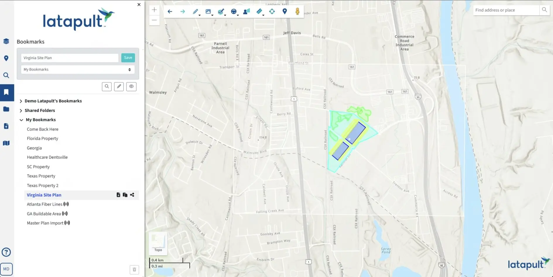
GIS, combined with land and data visualization technology, solves the problem of accessing and interpreting zoning maps. For example, the majority of parcels within Latapult have easily accessible zoning code and zoning type data. As such, users can simply click on the property in question to see what the zoning information is or search a particular area by zoning to visualize which properties are zoned with their desired designation. This on-demand access to the latest zoning and land use data information greatly simplifies the research process, accelerating important land acquisition and land development decisions.
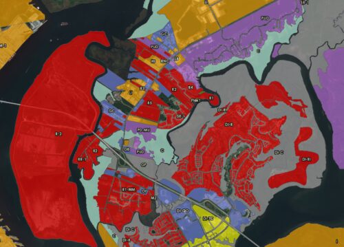
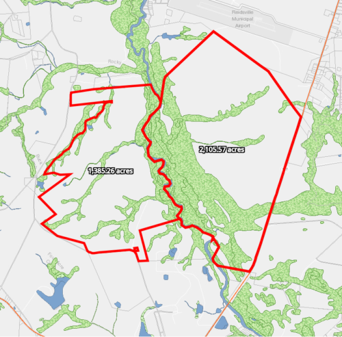
The re-zoning process can also be expedited using on-demand geographic land mapping and data visualization, which enable land stakeholders to create zoning amendment applications that cite surrounding zoning types to build a case for rezoning. Users can find nearby locations that have similar zoning situations or future land use and make a determination between potential property sites based on the location that will be easiest to amend the zoning code. While zoning amendments go through a public review process, a platform like Latapult can be used to create zoning maps that bolster the case for re-zoning.
Latapult’s rich geographic data and land mapping technology are proven to save users on the traditional high time and costs associated with obtaining and utilizing land data and mapping visualization – including zoning and re-zoning information. Get started with Latapult today!