
Civil Engineers Share Their Must-Have Data Layers and Tools
July 31, 2025
Civil engineering projects often face a maze of challenges, from environmental constraints to regulatory hurdles and everything in between. Before breaking ground, engineers need all the intelligence they can gather to make informed decisions. Having access to intuitive GIS tools and data layers can empower engineering teams to streamline workflows, enhance collaboration, and improve project outcomes at every stage.
The capabilities of Latapult’s GIS platform help engineers solve real-world problems every day. Whether they’re analyzing flood zones or visualizing transportation networks, engineers rely on premium data layers and tools to support smarter decision-making and generate value across infrastructure projects. Learn more about their must-have resources.
Slope And Topography Analysis Layers
Topography plays a vital role in determining site viability, stormwater flow, and construction feasibility. Latapult’s slope and elevation tools facilitate the quick assessment of terrain challenges so buildable zones can be identified — saving time and expenses on site preparation. The software’s capabilities allow civil engineers to:
- Estimate cut-and-fill requirements for efficient material planning
- View topographic contours for detailed landform insights
- Viewslope percentages to pinpoint areas that require grading or stabilization
Bonus feature: For broader planning, engineers can tap into Latapult’s “Large Parcel” dataset. This tool finds properties that meet minimum acreage and percent-slope criteria, identifying parcels that require little to no grading, which is ideal for cost-efficient development.
By integrating slope analysis early in the design stage, engineers can avoid potential pitfalls and streamline construction projects.
Utility Infrastructure Layers
Utility infrastructure data is critical for assessing project feasibility and estimating costs. Missed details about power lines, sewer systems, or telecommunications can derail timelines and budgets, creating unnecessary headaches for project managers. With Latapult, utility infrastructure layers provide clarity by consolidating data on:
- Electric transmission lines and substations
- Natural gas pipelines
- Fiber optic and telecom networks
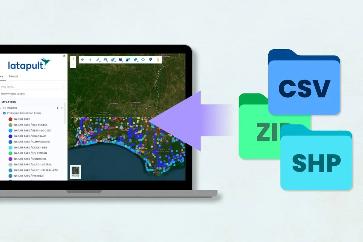
Bonus feature: Latapult’s Import Function allows users to overlay local datasets, such as water and sewer lines, on standardized layers. The new Rubber Sheet Tool also adds documents provided by engineers directly to existing maps. Having all utility details in one place ensures that constraints are identified early, decreasing unexpected disruptions and delays during infrastructure development.
Flood Zones and Wetlands Data
Flood risk assessment is paramount to avoid permitting issues and potential damage to infrastructure. Latapult’s flood zone and wetland data layers make it simple to overlay risk assessments over proposed development boundaries. Key data layers include:
- FEMA flood zones (A, AE, etc.) for regulatory compliance
- Wetland boundaries for project planning and design
- Flowlines to represent the water drainage network of different water bodies
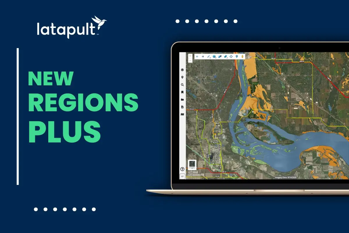
Bonus feature: Latapult’s Buildable Area Tool intersects non-flood zones with low-slope gradients, generating a visual map of usable land. This functionality helps engineering teams identify safe, development-ready plots without tedious manual analysis.
Precise knowledge of flood risks has saved countless projects from planning setbacks, ensuring that designs align with code and environmental guidelines.
Transportation and Right-of-Way Layers
Navigating transportation logistics is foundational for infrastructure planning. Civil engineers must fully understand roadway access, existing easements, and future transportation plans to achieve efficient designs that remain compliant with regulations. Latapult’s Transportation and Right-of-Way (ROW) layers enable teams to:
- Evaluate Department of Transportation (DOT)-maintained roads
- Understand planned road expansions and existing ROW corridors
- Analyze traffic patterns and access points
Bonus feature: Engineers can use Latapult’s measurement and import tools to overlay road networks with parcel boundaries and environmental data. The interactive features help users visualize access limitations and enable precise distance calculations directly on the platform.
By integrating transportation insights from the outset, teams maximize design accuracy and minimize costly adjustments late in the process.
Real-Time Collaboration Tools
Infrastructure projects require input from multiple stakeholders across teams, municipalities, and disciplines. Keeping everyone on the same page can be a logistical challenge, but Latapult simplifies processes with real-time collaboration features. With tools tailored for project alignment, teams can:
- Share site plans and parcel details across departments
- Coordinate effortlessly on permits, regulatory documents, and schedules
- Store all project updates in one centralized system for instant access
Bonus feature: In addition to organizing key documents internally, Shared Bookmark Folders also enable teams to communicate transparently with clients and regulators. Engineering firms can easily share visual updates and ensure everyone works from the most current information.
This level of collaboration fosters smoother approvals, greater productivity, and higher-quality project outcomes.
Modernize Civil Engineering Workflows with Innovative GIS Solutions
At Latapult, we believe actionable data leads to better decisions, and nowhere is this more apparent than in civil engineering. Our GIS platform equips engineering teams with the tools they need to quickly deliver superior results, whether they’re identifying utility constraints, assessing watershed risks, or aligning stakeholders.
Every project is unique, but success consistently relies on accurate, comprehensive real-time information. Latapult eliminates blind spots and simplifies complex workflows so civil engineers can focus on what they do best — building the future.
Are you ready to optimize infrastructure planning and deliver improved outcomes? Start your free trial to experience Latapult’s GIS solutions and transform your next civil engineering project.