

Enterprise GIS Infrastructure
Latapult Custom Enterprise
A fully customized GIS environment designed around your organization’s systems, data, workflows, and operational goals. Connect teams, centralize spatial data, and support enterprise-wide GIS operations from a single foundation.
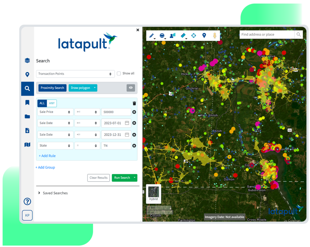
Built Around Your Organization, Not The Other Way Around

Create a single source of truth
Bring spatial data, documents, mapping workflows, and operational information together in one centralized enterprise GIS environment.

Break down data silos
Connect GIS with the systems your organization already relies on through custom integrations, APIs, and shared operational workflows.

Custom workflows for your organization
Custom applications, automation, and workflows around your organization’s processes, teams, and operational goals.

Support enterprise growth
Scale GIS operations across departments, regions, and initiatives with dedicated infrastructure, governance, and expert GIS services.
Built for enterprise-scale GIS operations
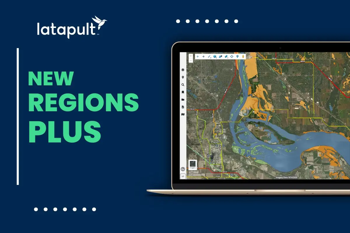
Custom Enterprise includes all the capabilities of Regions Plus, such as editable GIS layers, connected datasets, project tracking, and advanced collaborative workflows. It also adds the infrastructure, integrations, governance, and expert services needed to support enterprise-wide GIS operations.

Dedicated GIS architecture
A custom GIS environment designed around your organization’s data, workflows, operational requirements, and long-term growth.

Custom applications and workflows
GIS applications, workflows, and automation tailored to your teams, processes, and business objectives.
Enterprise integrations and APIs
Connect GIS with internal systems, databases, and operational tools to create a more connected enterprise environment.
Centralized data governance
Manage spatial data, documents, and operational information through shared enterprise systems designed for consistency and visibility.
Unlimited collaboration and deployment
Support multi-team environments, organization-wide workflows, and scalable deployments across departments, regions, and business units.

Expert GIS services
Work alongside dedicated GIS experts for implementation, training, custom layer management, and SLA-backed enterprise support.
However you work, Latapult works for you
Complex organizations need more than connected data; they need connected operations. Latapult Custom Enterprise brings acquisition, development, planning, and evaluation teams together through a customized GIS infrastructure designed around how your business works.
Land Acquisition
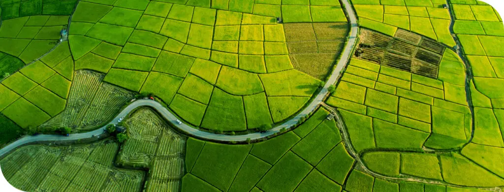
Create an enterprise acquisition infrastructure that connects proprietary data, operational systems, and custom workflows to support high-volume opportunity management and smarter decision-making across your organization

Land Development
Create a unified operational environment where teams, projects, and spatial data work together through integrated workflows designed around the way your organization develops land.

Land Evaluation
Standardize evaluation across regions and business units with an enterprise GIS infrastructure that connects analysis, data governance, and decision-making into a single ecosystem.
Not all enterprise GIS solutions are built the same.
Data lives in countless places. Latapult Custom Enterprise brings systems, workflows, and spatial intelligence together in a customized enterprise environment that supports the way decisions are actually made.
|
Latapult
|
Other Tools
|
|
|---|---|---|
| A GIS environment built around your organization | ||
| One connected enterprise ecosystem | ||
| Custom integrations and workflow automation | ||
| Enterprise-wide spatial data governance | ||
| Infrastructure designed to scale with your business | ||
| A dedicated GIS partner beyond implementation |
More ways to work with Latapult
Latapult supports more than parcel analysis, with tools designed to help you search, evaluate, and act on what you find.
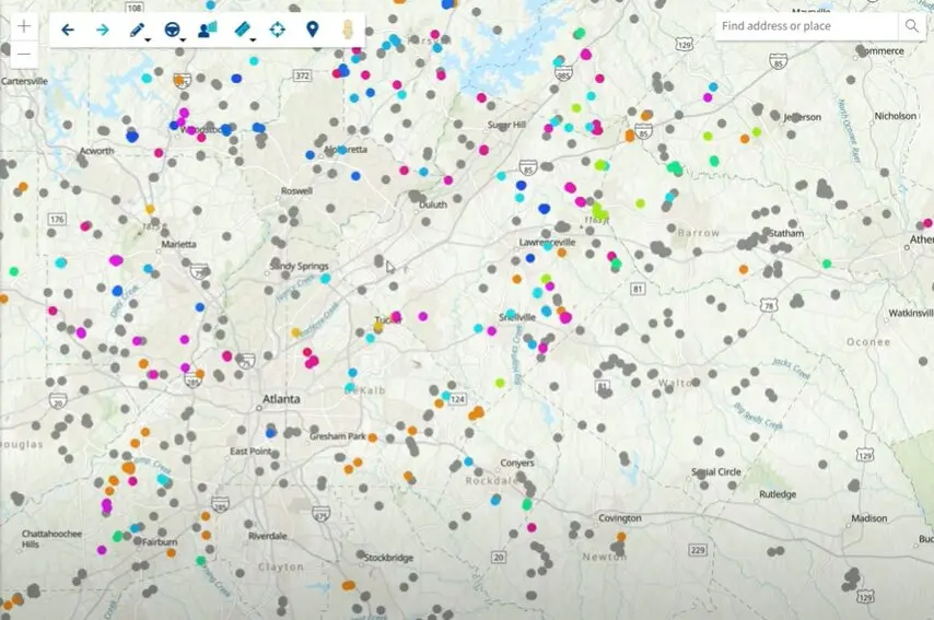
Find the right product
Compare coverage levels, capabilities, and deployment options to choose the solution that best fits your organization.

Need something built for you?
From custom applications to enterprise integrations and workflow automation, our GIS experts can help create a solution designed around your organization.



Frequently Asked Questions
-
How do I build a custom enterprise GIS platform?
A custom enterprise GIS platform is designed around an organization’s workflows, systems, data architecture, and operational needs. Latapult Custom Enterprise provides a tailored GIS environment with custom applications, integrations, and enterprise GIS infrastructure built to support organization-specific operations.
-
What is enterprise GIS infrastructure?
Enterprise GIS infrastructure goes beyond mapping software to provide the architecture, databases, integrations, governance, and workflows that support organization-wide GIS operations. It serves as the foundation for managing spatial data across teams and business functions.
-
How is Custom Enterprise different from Regions Plus?
Regions Plus expands land intelligence with editable GIS layers, connected datasets, and advanced collaborative workflows. Custom Enterprise builds on those capabilities with a fully customized GIS environment designed around your organization’s systems, data architecture, integrations, and operational workflows.
-
When do I need more than a configurable GIS platform?
As organizations grow, multiple teams, proprietary datasets, internal systems, and specialized workflows may require more than configurable software. Custom Enterprise is designed for organizations that require a GIS environment tailored to their operations.
-
How can I connect GIS with my organization’s internal systems?
Latapult Custom Enterprise supports enterprise integrations, APIs, and custom data pipelines that connect GIS with internal applications, operational systems, and business processes, creating a more connected enterprise environment.
-
How do organizations manage enterprise-wide GIS operations?
Enterprise-wide GIS operations require centralized spatial data management, standardized workflows, integrated systems, and governance across multiple teams. Custom Enterprise provides infrastructure designed to support these operational requirements at scale.
-
What is spatial data infrastructure?
Spatial data infrastructure is the framework that organizes, manages, and connects geographic information across an organization. It includes spatial databases, governance, integrations, and workflows that allow teams to use GIS information within a shared operational environment.
-
Can GIS workflows be customized for my organization?
Yes. Custom Enterprise supports custom GIS applications, workflow automation, data pipelines, and organization-specific workflows tailored to how your business operates, rather than relying solely on standardized software configurations.
-
What are GIS managed services?
GIS managed services provide expertise beyond software implementation, including custom layer creation and management, implementation support, training and onboarding, and SLA-backed enterprise support to help organizations maximize their GIS environment.
-
Why choose a custom enterprise GIS environment?
A custom enterprise GIS environment combines mapping, spatial data management, integrations, and organization-specific workflows into a connected operational foundation designed around your business. It enables organizations to support enterprise-wide GIS operations through a customized environment built for their unique needs.
