

Smart Land Search & Discovery
Finding the right property starts with finding the right data fast. Latapult’s Smart Land Search helps you discover parcels that match your exact criteria through map-based search, spatial filtering, ownership data, land use, and more, all in one connected experience. Search by location, size, value, ownership, and dozens of additional attributes to move from broad exploration to targeted opportunities in seconds.
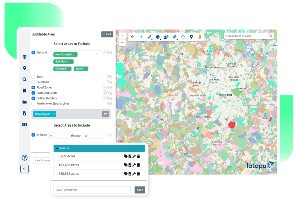
Smarter land searches from the start.
Smart Land Search combines parcel search, spatial filtering, and interactive mapping into a single workflow designed to help teams identify viable opportunities faster.

Search with spatial context
Search parcels by geography, proximity, infrastructure access, or surrounding conditions to quickly narrow down where opportunities exist.

Filter results for the right fit
Refine results using parcel size, ownership type, land use, market characteristics, and other property-level filters.

Explore visually on the map
Use an interactive property map to combine visual exploration with layered parcel and GIS data for faster land discovery.

Move from search to action
Save searches, export results, and move directly into deeper site evaluation workflows without rebuilding your research.
Built for faster land discovery
Latapult helps teams discover land for development and evaluate opportunities more efficiently by connecting parcel searches with GIS data, ownership insights, and map-based filtering tools.

Search by geography and proximity
Quickly locate parcels near infrastructure, utilities, highways, municipalities, or other points of interest using flexible spatial search tools.

Define property filters
Search parcels by ownership, along with parcel size, land use, market data, and additional property characteristics that help narrow results faster.

Interactive map-based search
Combine map-based land property searches with detailed parcel filtering so users can visually explore opportunities while refining results in real time.

Save and export results
Save relevant parcels, revisit searches later, and export land search results for reporting, collaboration, or additional analysis workflows.

Integrated parcel insights
View parcel boundaries, ownership records, and GIS overlays directly within the search experience to understand site context without leaving the map.

Map every related property
Enter an owner’s name or address and the Find Related Properties tool instantly maps every other parcel tied to that same entity across the region or nation, turning a single lead into a complete ownership picture.
Turn complex land searches into clearer opportunities.
With Latapult, you can define search areas, draw on the map, and easily create proximity searches. You can also apply filters for property attributes and explore parcels visually with instant data overlays and charting.




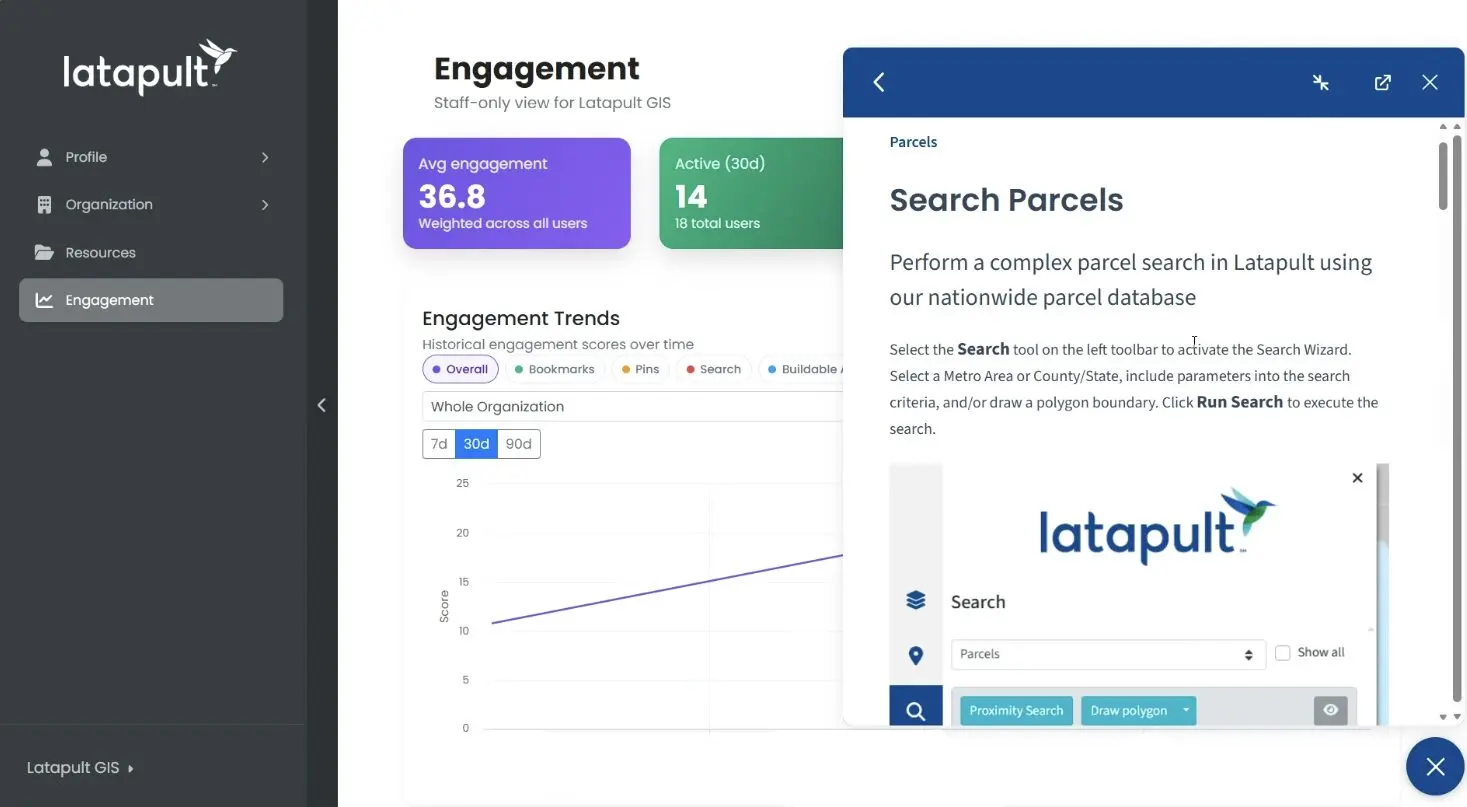
More ways to work with Latapult
Smart Land Search is built to connect with the rest of your land evaluation workflow, helping teams move from discovery to deeper analysis without starting over.

Parcel Data & Property Intelligence
Go beyond search with parcel boundaries, ownership records, GIS layers, and property intelligence that add deeper context to every opportunity.

Latapult Plans
Choose the level of access and support that fits your workflow, from self-service land research to customized enterprise solutions.
Frequently Asked Questions
-
How can I search for parcels by location?
Latapult makes it easy to search for parcels by location using an interactive map interface. Users can search by address, municipality, county, coordinates, or custom-drawn areas to quickly narrow down properties within a target geography. Spatial search tools also help users identify parcels near infrastructure, highways, utilities, or other points of interest.
-
What filters can I use in Latapult’s land search?
Latapult’s Smart Land Search includes flexible parcel search filters that help teams narrow results faster. Users can filter by parcel size, ownership type, land use, acreage, jurisdiction, market characteristics, and other property attributes to support more targeted land discovery workflows.
-
Can I draw an area on the map to find properties?
Yes. Latapult supports map-based land property search workflows that allow users to draw directly on the map to define custom search areas. This makes it easier to explore parcels within specific boundaries, corridors, development zones, or proximity ranges without relying only on address-based searches. Users can also import boundaries to use as filters, such as growth boundaries.
-
How is Latapult different from Regrid or LandGate for parcel search?
Platforms like Regrid and LandGate provide parcel search and mapping capabilities, including ownership data and zoning filters. Latapult is designed to connect parcel search, GIS overlays, ownership insights, and land evaluation workflows into a more streamlined experience built around land discovery and site selection. Rather than focusing only on parcel lookup or mapping, Latapult helps teams move more efficiently from broad land search to targeted opportunity analysis.
-
Is parcel search included in Latapult’s base plan?
Yes, parcel search is available with every Latapult plan. Explore which Smart Land Search features, GIS layers, exports, and ownership datasets are included for your organization’s workflow needs by booking a call with the Latapult team today.
