

Parcel Data & Property Intelligence
When parcel data is off, everything downstream gets harder. Latapult brings together nationwide GIS parcel data, verified ownership, and 250+ data layers in one place, so you can move through site selection, land acquisition, and analysis without second-guessing the data.
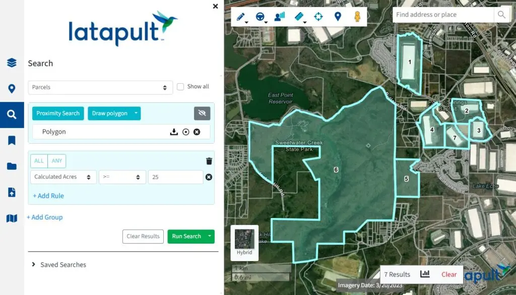
Strong parcel data leads to stronger decisions

Surface the right opportunities
Work from nationwide parcel data with precise boundaries and layered context, so viable sites stay in play and can be evaluated faster.

Reach the right owners
Use verified parcel ownership data linked to assessor and deed records to focus outreach and reduce time spent tracking down the right contact.

Understand site constraints early
Layer in zoning, flood, soil, and infrastructure data to quickly see what a property can support before investing time deeper in the process.

Keep deals moving
Bring parcel data, ownership, and GIS layers into one place to reduce tool switching and keep research, analysis, and decisions moving forward.
Better inputs. Better outcomes.
Latapult connects parcel data with the context around it so you can move from initial search to deeper analysis without rebuilding the same view across tools.

Identify parcel boundaries instantly
Work from nationwide parcel boundary data that is already aligned to the surrounding map, so you can evaluate location, access, and adjacency without recreating parcel views or stitching together multiple sources.

View ownership and legal information
See ownership alongside parcel data, including linked assessor and transaction records, moving directly from identifying a property to understanding who is behind it and how it has changed over time.
Explore 250+ GIS data layers
Bring amenities, environmental constraints, infrastructure, and demographic context into the same view as your parcels, so you can evaluate site viability and constraints earlier in the process.
Analyze parcel attributes
Compare parcel-level details like size, land use, and valuation across multiple sites to support more consistent property analysis and better-informed decisions.

Export and integrate data
Download parcel boundaries and associated data for use in tools like ArcGIS and QGIS, or bring it into your own workflows so analysis can continue beyond the platform.

Uncover true buildable acreage
Smart Search helps you find the right parcel, while the Buildable Area Analysis tool automatically subtracts protected wetlands, steep hillsides, and regulatory setbacks from the total acreage, so you know exactly how much land is usable before you commit.
However you work, Latapult works for you
Land decisions don’t happen in one step or with one team. Latapult supports the full process, giving developers, acquisition teams, planners, and investors access to the same connected parcel data at every stage.

Land Developers
Evaluate sites faster with parcel data, ownership, and GIS context in one place, so you can identify viable opportunities earlier and spend more time moving the right ones forward.

Land Acquisition Teams
Streamline property sourcing with verified ownership data and parcel-level insights, so you can focus outreach, reduce dead ends, and move more efficiently from search to contact.
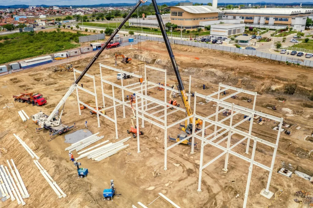
Urban Planners & Government Agencies
Make zoning, infrastructure, and land use decisions with accurate parcel boundaries and layered GIS data, grounding planning efforts in a complete view of each site.

Investors & Real Estate Professionals
Assess opportunities with parcel data, ownership history, and market context, so you can compare properties, understand risk, and prioritize where to invest.




More ways to work with Latapult
Latapult supports more than parcel analysis, with tools designed to help you search, evaluate, and act on what you find.

Smart Land Search
Find and filter properties using parcel data, ownership, and GIS layers, so you can quickly narrow down where to focus.
Latapult Plans
Choose the level of access and support that fits your workflow, from self-service land research to customized enterprise solutions.
Frequently Asked Questions
-
What is parcel data and how is it used?
Parcel data is a digital map of land boundaries combined with property details like ownership, acreage, zoning, assessed value, and land use. Organizations use parcel data to evaluate sites, identify development opportunities, support land acquisition strategies, plan infrastructure, and make faster land and property decisions with more context.
-
How accurate is Latapult’s parcel data?
Latapult sources parcel data from trusted local, state, and national providers and regularly updates datasets to help ensure accuracy and reliability. Data coverage and refresh frequency can vary by county and jurisdiction, but Latapult is designed to provide a dependable, decision-ready view of parcel and property information across the U.S.
-
How can I find property ownership information by parcel?
Latapult connects parcel boundaries with ownership and assessor records, making it easier to search for properties and view available ownership details in one place. Users can identify parcel owners, explore linked properties, and access supporting property information without switching between disconnected systems.
-
What GIS layers are included with Latapult?
Latapult includes more than 250 GIS layers that provide additional context for land and property decisions. Available layers can include flood zones, wetlands, topography, soil data, utilities, environmental constraints, demographic insights, transportation access, and other location-based datasets.
-
Can I export or visualize parcel data in ArcGIS/QGIS?
Yes. Latapult supports workflows that allow teams to visualize parcel data alongside GIS layers and integrate data into mapping environments like ArcGIS and QGIS. This helps organizations analyze, share, and apply parcel intelligence within their existing GIS workflows.
-
Does Latapult cover the entire U.S.?
Latapult provides nationwide parcel data coverage across the United States, helping teams evaluate opportunities and compare properties across markets, regions, and jurisdictions from a single platform. Coverage depth and available attributes may vary depending on local data availability.
-
What makes Latapult’s parcel data better than Regrid or Land id?
Latapult combines parcel data, ownership insights, GIS context, and workflow-focused tools in a single connected experience built for land-focused teams. While platforms like Regrid and Land id provide parcel mapping capabilities, Latapult is designed to support broader land evaluation and decision-making workflows across acquisition, development, planning, and investment teams.
