
Land Discovery & Intelligence
Latapult Regions
Traditional GIS helps you map land. Latapult Regions help you make sense of it. Explore opportunities, evaluate markets, and uncover the context behind every property without jumping between disparate systems.
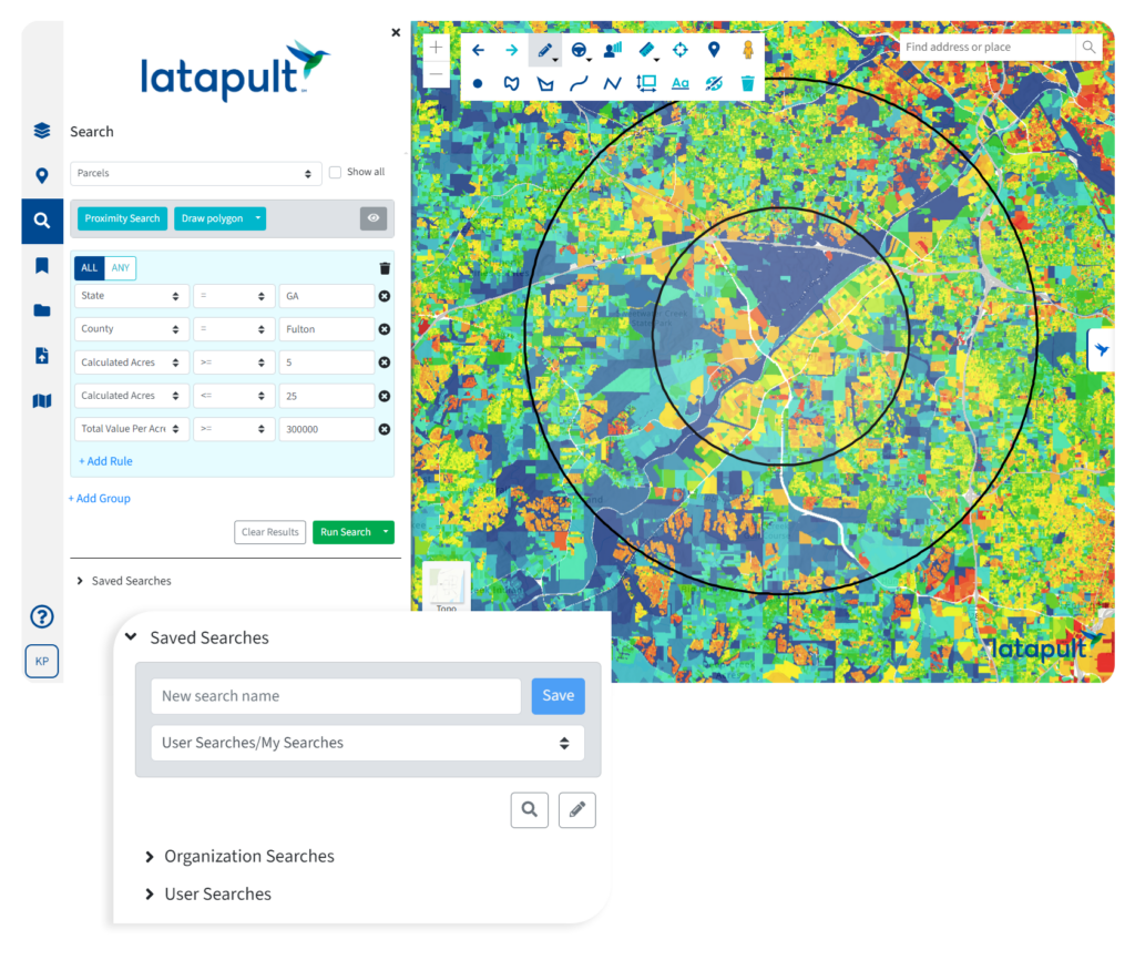
The Map is Just the Beginning

Find opportunities worth pursuing
Move beyond manual searches and scattered datasets. Explore properties, regions, and markets through tools designed to help uncover opportunities faster.

Understand the full picture
Combine parcel information with infrastructure, environmental, demographic to see how a property fits within its broader context.

Turn data into decisions
Evaluate sites, compare regions, and identify potential constraints earlier so teams can spend less time gathering information and more time acting on it.

Work from the same source of truth
Share maps, datasets, bookmarks, and findings across teams to create a more connected approach to land research and analysis.
Connect the Dots Behind Every Opportunity

Property Intelligence
Research properties with ownership information, parcel attributes, and supporting land data that help teams move from discovery to informed evaluation.

Smart Land Searches
Quickly narrow the field by identifying parcels and opportunities that align with your search criteria, project goals, and geographic priorities.
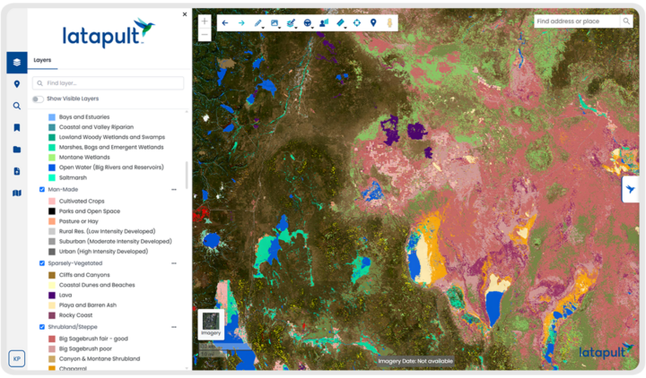
Visualize 250+ GIS Datasets
Bring environmental, infrastructure, and demographic data into a single map view to better understand what’s happening around a property or region.

Export Maps & Reports
Share findings with stakeholders and extend analysis beyond the platform through exportable maps, reports, and supporting data.

Import GIS Data & Web Services
Connect the GIS data your organization already uses, creating a more complete and connected view of land opportunities, market conditions, and project areas.

Site Feasibility Analysis
Evaluate opportunities earlier by understanding site characteristics, potential constraints, and surrounding conditions before investing significant time and resources.

Import Images
Add spatial data, project visuals, and other supporting media assets to enrich analysis and provide additional context for decision-making.

Team Collaboration & Shared Workflows
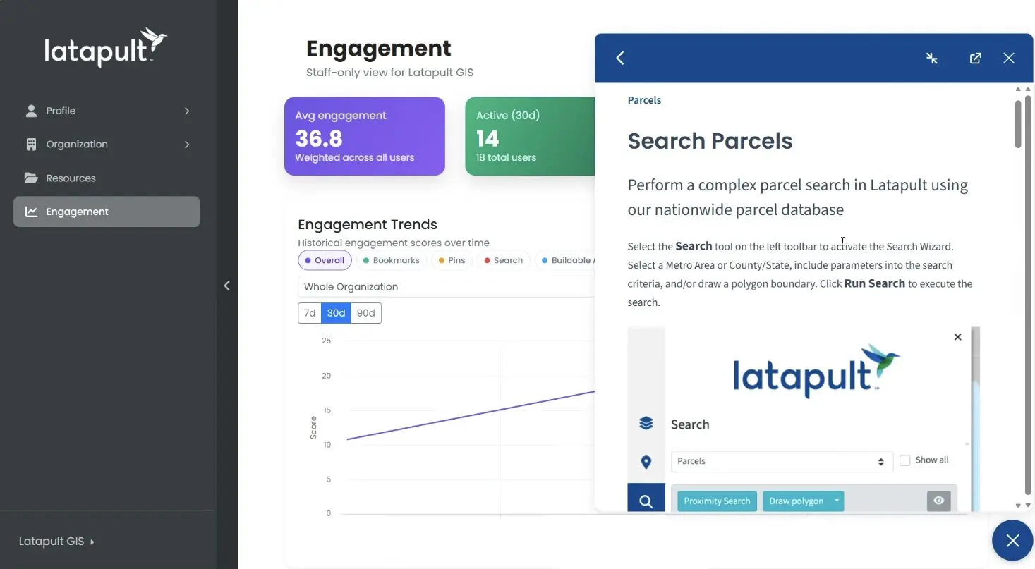
Keep teams aligned with shared maps, datasets, and workflows that make land research and evaluation easier to manage across stakeholders.

Shared Pin & Bookmark Libraries
Create, organize, and share collections of important locations, opportunities, and research findings with teammates and external stakeholders.

Travel Areas & Routing Analysis
Understand accessibility, travel patterns, and utilities to better evaluate how people, services, and infrastructure interact with a location.

Demographic & Census Reporting
Access reporting tools that provide deeper insight into population characteristics, demographic trends, and regional market conditions.

Access on Any Device
Work from the office, the field, or anywhere in between with access to Regions across devices, keeping critical land data within reach wherever decisions happen.
However you work, Latapult works for you
The questions may change, but the goal stays the same: make better land decisions. Regions helps teams uncover opportunities, understand potential challenges, and gain the context needed to move forward with greater speed and certainty.
Land Acquisition
Too many opportunities. Not enough time to pursue them all. Regions helps acquisition teams quickly narrow the field, identify promising properties, and focus outreach efforts where they’re most likely to create value.

Land Development
The earlier potential challenges surface, the easier they are to address. Regions helps development teams understand site context, evaluate opportunities, and make more informed decisions before committing significant re

Land Evaluation
Strong recommendations depend on strong analysis. Regions helps evaluation teams build a more complete understanding of site conditions, uncover potential constraints, and provide stakeholders with greater confidence.
The difference is how the data comes together
Parcel data exists in a lot of places; Latapult connects it in a way that gets you the answers you need, exactly how you need them.
|
Latapult Regions
|
Other Tools
|
|
|---|---|---|
| Property intelligence, mapping, and regional context connected in one workflow | ||
| Smart land searches and site evaluation tools built into the platform | ||
| 250+ GIS datasets available in a single environment | ||
| GIS data imports and live web service connections | ||
| Shared workflows, bookmarks, and collaboration tools | ||
| Access on any device |
More ways to work with Latapult
Regions is just one way to work with Latapult. Explore products designed for advanced GIS workflows, enhanced data management, and customized environments built around your organization's needs.
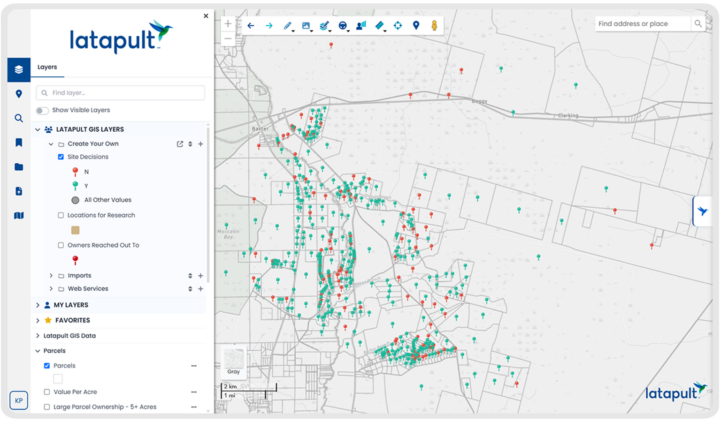
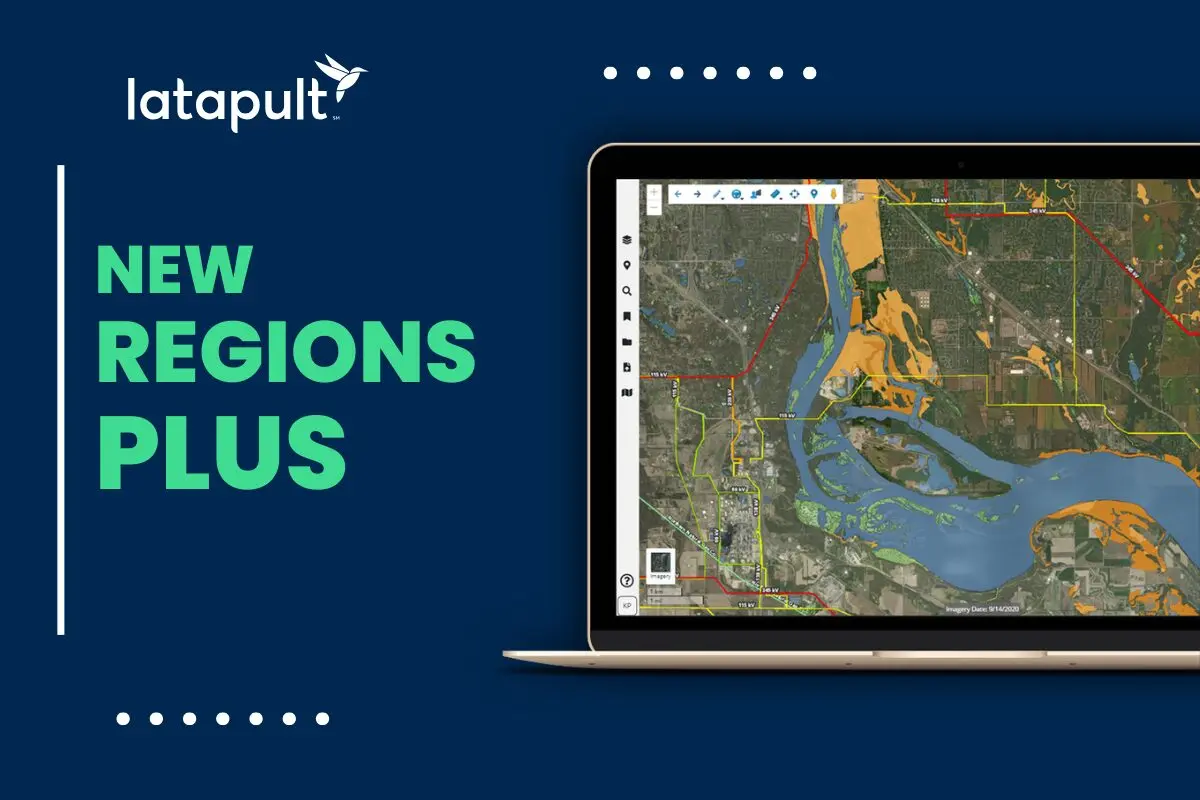
Regions Plus
Move beyond analysis with advanced GIS tools that help teams create, manage, and share data in more sophisticated ways.
- Create, manage, and share configurable project layers
- Create and share editable geospatial layers
- Share operational datasets across teams
- Build lightweight GIS workflows without the burden of a customer enterprise deployment
Latapult Custom
When off-the-shelf workflows aren’t enough, create a GIS environment tailored to your data, processes, and business goals.
- Custom GIS applications and workflows
- Enterprise integrations & APIs
- Custom layer creation and management
- Dedicated GIS experts and support



Frequently Asked Questions
-
What is land discovery software?
Land discovery software helps organizations identify, research, and evaluate land opportunities using GIS mapping, parcel data, ownership information, and location-based analysis tools. Latapult Regions combines these capabilities in a single platform designed for land-focused workflows.
-
How does Latapult Regions support land discovery?
Regions helps teams explore opportunities through Smart Land Searches, Property Intelligence, GIS mapping, and regional analysis tools, making it easier to identify and evaluate potential sites.
-
What GIS mapping capabilities are included in Regions?
Regions includes interactive GIS mapping tools, parcel visualization, property intelligence, regional analysis capabilities, and access to more than 250 GIS datasets that provide additional context around a location.
-
Can I search for parcels and property ownership information?
Yes. Regions includes parcel search tools and Property Intelligence capabilities that help users research ownership information, property attributes, and site-specific details within the same workflow.
-
What types of GIS datasets are available in Regions?
Regions provides access to more than 250 GIS datasets, including environmental, infrastructure, demographic, planning, and location-based data, helping teams better understand land opportunities and surrounding conditions.
-
How does Regions support regional land analysis?
Regions enables users to compare markets, evaluate geographic trends, analyze regional characteristics, and assess opportunities across counties, cities, and larger service areas using a consistent set of land intelligence tools.
-
Can I bring my own GIS data into the platform?
Yes. Regions allows users to import GIS datasets and connect to web services, enabling the integration of internal data, third-party information, and Latapult datasets within a single environment.
-
How does Regions support collaboration across teams?
Regions includes shared workflows, collaborative mapping tools, and bookmark libraries that help teams organize research, share findings, and work from the same information throughout the decision-making process.
-
Can Regions be used for site feasibility analysis?
Yes. Regions includes Site Feasibility Analysis tools that help users evaluate opportunities, understand site conditions, identify potential constraints, and support more informed land decisions.
-
What makes Latapult Regions different from traditional GIS mapping software?
Traditional GIS workflows often require users to work across multiple tools, datasets, and systems. Regions brings land discovery, parcel research, GIS mapping, site evaluation, and collaboration together in a connected platform designed specifically for land-focused teams.
