Enterprise-Wide Visibility Beyond GIS Mapping
September 8, 2026
Key Takeaways
- Latapult goes far beyond static GIS mapping, functioning as a full operational hub for cross-department collaboration, external data storage, project tracking, due diligence, and demographic and market trend analysis.
- For leadership and regional teams, these same capabilities translate into enterprise-wide portfolio visibility and risk-mitigating capital decisions.
- Every insight in Latapult’s GIS software is backed by verified and source-traceable data, giving executives a verifiable foundation for decisions that carry real capital risk.
This blog highlights five ways clients use Latapult beyond standard GIS mapping features: cross-department collaboration, external data storage, demographic and property analysis, project management, and proposal-ready due diligence reporting. For the leadership team weighing these investments, the same platform translates into risk-mitigating capital decisions, enterprise-wide portfolio visibility, and a verifiable source of truth that holds up in the boardroom.
When people hear “GIS software,” they usually picture static maps and color-coded boundaries. But that view only scratches the surface of what Latapult delivers. Built for modern land developers, Latapult’s GIS software products, Regions and Regions Plus, function as comprehensive operational hubs, not just mapping tools.
That distinction matters more as portfolios grow. A single team member viewing parcel boundaries on a map is a useful workflow, but it isn’t the same as an organization managing dozens of active sites, several markets, and cross-functional teams who all need the same accurate information at the same time. As land development scales, the tools that support it need to scale too, moving from individual mapping tasks to shared, verifiable operational infrastructure.
Cross-Department Collaboration Beyond GIS Mapping
Latapult keeps architecture, engineering, and construction (AEC) teams coordinated on buildable constraints, boundaries, and parcel updates without version friction. Three tools power that collaboration:
- Pins: An interactive hub for organizing site status updates, project locations, and field notes, helping teams capture, track, and share findings so everyone has the latest information.
- Bookmarks & Folders: Teams can organize and save collections of maps for quick reference, create shared bookmark folders for internal coordination, and use the external-sharing component to pass information to partners, investors, or other stakeholders, even if they aren’t Latapult clients.
- Cross-Discipline Visibility: Every team works from the same up-to-date data, reducing version friction and duplicate work, a clear advantage for CRE tech and real estate stakeholders alike.
Consider a mid-size homebuilding organization coordinating land acquisition, civil engineering, and construction on the same project. Without a shared platform, each team often works from its own version of a site plan, and small discrepancies, like an outdated boundary line or a missed utility update, can compound into costly rework. Instead, when every discipline pulls from the same live Latapult layers, that friction disappears well before it reaches a job site.
For leadership overseeing multiple markets and teams, this cross-discipline visibility becomes a single source of truth across every market, team, and deal, reducing the risk exposure on decisions that can’t afford to be wrong.
Store External Data with Unified GIS Software
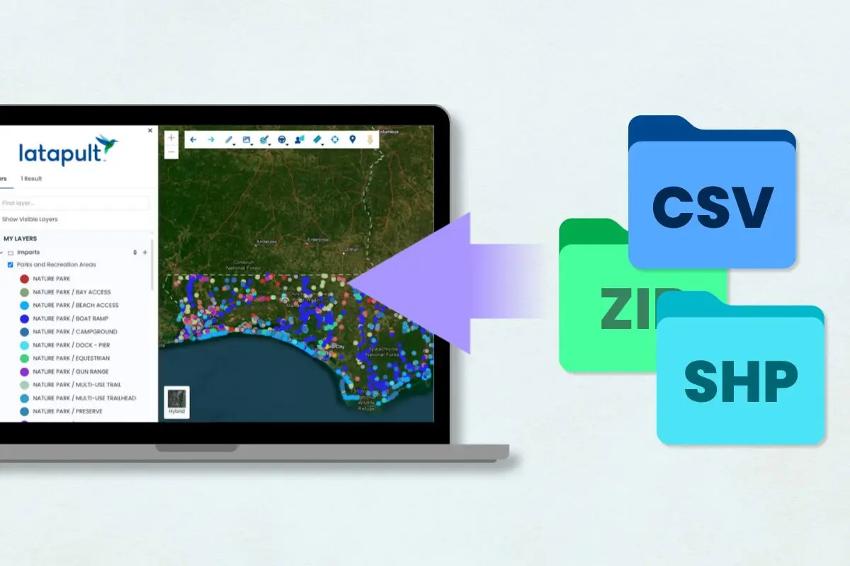
Latapult lets clients import external files, including web services, site plans, map images, and local datasets like zoning and utilities. Supported formats include Web Services, CSV, DWG, KML, KMZ, SHP, GeoJSON, and JSON, among others. Imported datasets let clients view copies of shared data alongside existing Latapult datasets, keeping all project information in one place.
This matters most when data comes from outside sources that a team doesn’t fully control, such as a partner’s engineering firm, a municipal zoning office, or a utility provider. Rather than toggling between disconnected files and spreadsheets, clients can bring that outside information directly into their existing Latapult environment and evaluate it against parcel data, infrastructure layers, and demographic context already on the platform. By consolidating third-party and internal data into one verified environment, Latapult helps leadership mitigate risk before committing millions of dollars to a site.
Project Tracking for Portfolio-Wide Development
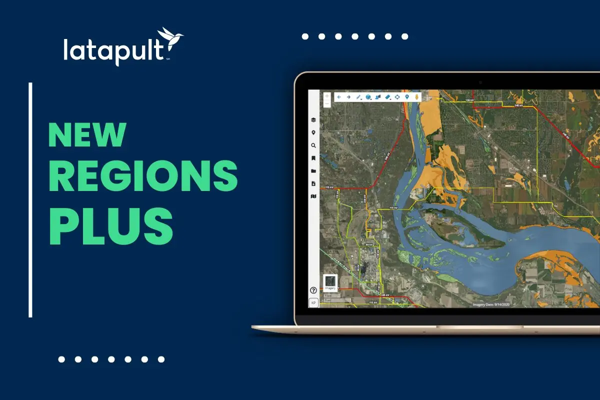
Beyond mapping, Latapult supports project management by letting teams track a pipeline of sites, parcels, or developments in one place, useful for land development consulting and urban land development teams alike. Clients can create their own GIS project tracking layers with Regions Plus to reflect custom statuses, milestones, or approval stages.
These tracking layers update in real time, keeping cross-functional teams aligned as projects move through each phase of development. Instead of maintaining a separate spreadsheet or project management tool disconnected from the underlying land data, teams can see project status directly on the same map where the site details, parcel information, and constraints already live.
At the leadership level, this pipeline visibility becomes a portfolio-wide command center, giving executives one source of truth across every market, team, and deal, not just a project-level tool for individual practitioners. That visibility makes it easier to spot bottlenecks early, whether a specific market is lagging on approvals or a particular team consistently outpaces its milestones, and to reallocate resources before a delay becomes expensive.
Proposal-Ready Due Diligence Reports
Latapult’s due diligence features use multi-layered GIS data, parcel data, and infrastructure mapping to streamline site evaluation, land evaluation, and commercial real estate site selection. Clients can export custom PDF maps, reports, and data visualizations to support land acquisition and development workflows.
These reports combine land survey and mapping data to turn complex GIS data into investor-ready materials without needing separate design tools. For a team building an investment package or a proposal for a planning commission, that means going from raw parcel and infrastructure data to a polished, presentation-ready deliverable in the same platform where the analysis happened, rather than exporting data into a separate design workflow.
Because every report is grounded in verified, source-traceable data rather than black-box guesses, executives can move quickly on acquisition decisions without sacrificing the accuracy that capital commitments demand.
Property and Demographic Analysis for Executive Insights
Latapult’s GIS mapping and reporting tools support data analysis and visualization, letting clients evaluate American Community Survey (ACS) data, including population trends and income levels, alongside nationwide property data for deeper land-use analysis. The workflow breaks down into four steps:
- Select a Target Area: Zoom in on a project site, parcel, or region of interest using the interactive mapping interface.
- Create Demographic Reports: Access reporting and toolbar functions that automatically generate detailed census and community insight reports directly from selected data layers.
- Review Key Metrics: Evaluate the target area further by reviewing other key data layers, such as access to points of interest, surrounding homebuilder development, and traffic counts, to gain a holistic understanding.
- Export and Share: Generate visual demographic reports and map data visualization exports, or share bookmarks and pins with your team.
This workflow is especially useful for teams evaluating multiple markets at once. Rather than commissioning a separate market study for every candidate site, a business operations team can run the same demographic and property analysis across several regions in a fraction of the time, then compare the results side by side to prioritize where to focus capital and staff.
More Than a Mapping Tool
Latapult is far more than a GIS mapping tool. It’s a proptech operational hub supporting collaboration, data integration, market analysis, project tracking, and due diligence in one platform. When teams use Latapult beyond its mapping features, they streamline workflows, reduce version-control issues, and always work from the latest data.
For organizations still treating GIS software as a single-purpose mapping tool, the opportunity cost shows up gradually in duplicated work across departments, due diligence materials rebuilt from scratch for every deal, and market analysis that takes days instead of minutes. Consolidating these workflows into one platform doesn’t just save team members time; it gives leadership a consistent, verifiable view of every active project across the organization. Latapult turns portfolio-wide time saved into capital-protected deals that executives can take straight to the boardroom.
Book a call to learn more about these features and give your leadership team the enterprise-wide visibility and verifiable decision-making they need to scale with confidence.
Frequently Asked Questions
-
What is a connected land intelligence platform?
A connected land intelligence platform brings land data, workflows, projects, and stakeholders together in a single environment. Latapult’s Regions and Regions Plus products help organizations move beyond static maps by keeping information connected to the decisions, teams, and projects they support.
-
How does Latapult help teams manage living datasets?
Latapult allows organizations to create editable GIS layers and shared operational datasets that evolve alongside projects. Instead of creating static maps that quickly become outdated, teams can maintain information that stays current as conditions, projects, and priorities change.
-
Is Latapult’s data verifiable?
Yes. Latapult provides access to over 250 data layers, so leadership can verify the underlying data instead of relying on an opaque model.
-
Does Latapult support enterprise-wide visibility?
Latapult consolidates activity across teams and markets of any size into one source of truth through shared GIS datasets, editable GIS layers, project tracking, and connected operational workflows. Teams can work from the same information across projects, departments, and markets while reducing reliance on disconnected files and systems. Leadership receives portfolio-level visibility rather than isolated, project-by-project reporting.
-
How does Latapult’s GIS software maintain speed without sacrificing accuracy?
Latapult was built by geospatial experts who understand the opportunities and challenges of land development, acquisition, and evaluation. Latapult pairs this core knowledge and ground-truth GIS data with automated workflows, so teams and leadership can move quickly without taking risks on unverified guesses.