Use Cases and Benefits of Latapult’s Buildable Area Tool on Land Evaluation and Site Assessment
February 8, 2024
Latapult’s Buildable Area Tool for Land Evaluation and Site Assessment
Competition for land has never been greater. And because the average sales price for vacant land has increased year-over-year, you need to be sure of land value and suitability before investing.
Think you found a piece of land that meets your specifications or those of your client? Before moving forward financially, you need to ensure the prospective property does not include major pitfalls that make the land unsuitable for building and developing. Continue reading to learn how the Latapult Buildable Area Tool can help you make the right decision when it comes to investing.
What is Latapult’s Buildable Area Tool?
When it comes to land, what you see is not always what you get. For example, a land stakeholder may think they’ve found the best property for their next project, but after further examining the land, they discover the soil type is not conducive to their development goals.
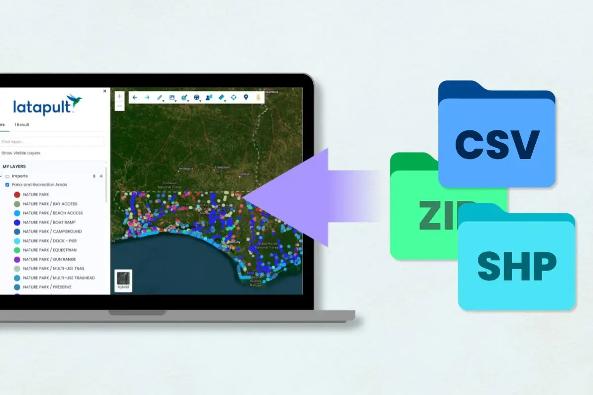
With the Buildable Area Tool, users are able to pick a property or draw their own boundary, and Latapult will compute a buildable area within the polygon based upon the combination of slope, wetlands, soils, flood, protected lands, and/or critical habitat data.
When would land stakeholders need to use the tool?
The Latapult land mapping platform can help land stakeholders before, during, and after the investment process. For instance, before investing, customers can use the tool to discover the buildable area on a parcel or set of parcels based on specific criteria and save the graphic in a bookmark for later use. From there, users can obtain information about the size of the area, add labels to identify specific building plans or sketch out a preliminary site layout.
During the site evaluation phase, users can create and export a boundary that combines analysis from six of our most popular land layers to better visualize a buildable area of a property for development teams. Once a site is selected, Latapult users can easily answer client questions and keep teams informed by creating graphics, such as building sizes and site plans, within the buildable area that can be easily exported to share amongst teams or for use in site design software.
What are the benefits to the land evaluation, site assessment, and land development process?
This tool not only identifies buildable areas of land, but it also has the potential to save both time and money. By identifying potential pitfalls of land parcels, your team is less likely to invest in land unsuitable for your next project. Additionally, by viewing contiguous buildable areas on a property, your team can better develop site plans according to land buildability.
The buildable area tool helped us identify what would be the best area for a solar array. It took a lot of the guesswork out of it and gave us enough confidence so that we could give the landowner a good approximation of what area we expect to use.
Sharon Foxworthy
Want to see our Buildable Area tool in action? Watch the video below for a demo of this feature.