
How to Import Data Into Latapult
November 15, 2022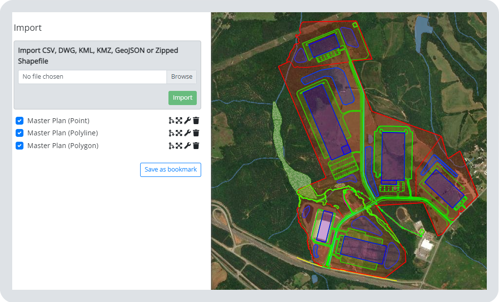
Latapult is an easy-to-use platform that provides users with land data spanning from metros and states to nationwide. Our data includes insight into current environmental, demographic, geospatial and topographic information and much more. Along with our data that spans across industry needs to help customers find land quickly and easily, you can layer in your own data as graphic overlays too.
Can I import data into Latapult’s GIS platform?
The simple answer is, yes! You are able to import data such as boundaries and site plans into Latapult as graphics. From here, you can create maps, view boundaries, and create search filters. The process is simple, so you don’t have to be a GIS expert to do it. Once imported, you can view your file against Latapult’s extensive collection of due diligence GIS data.
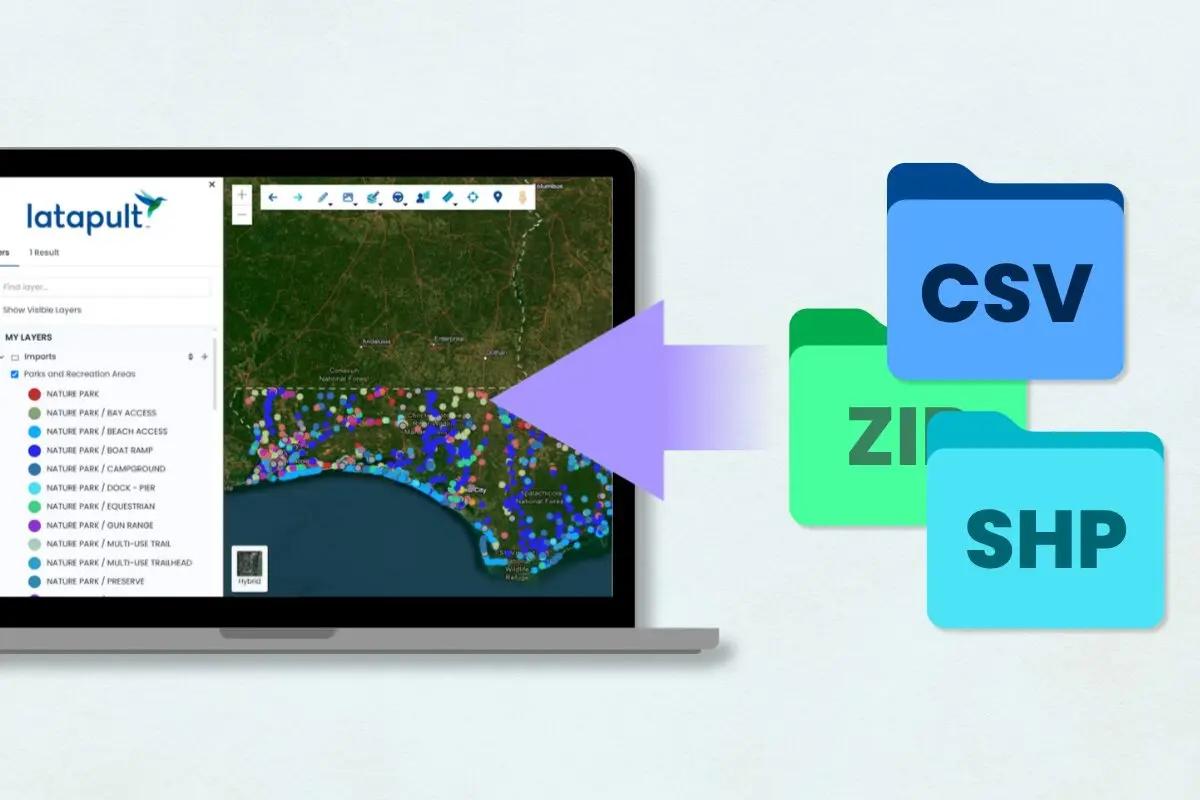
Latapult was designed to easily integrate with your current workflow, making it easy to import files, rather than replacing those systems altogether. Latapult accepts common file types such as DWG, SHP, KML, and CSVs.
Check out these two methods for importing your data:
Method 1: Import data as graphic overlays.
Through Latapult’s Import Tool, users can import data created in external software such as CAD, SHP, KML and CSV files, as a graphic overlay allowing you to view geometry. That geometry data can be used as a search filter and to create custom GIS maps.
This feature comes in handy in a lot of ways. For example, by importing a simplified CAD site plan, you and your team can get a holistic view of a chosen land plot or property. Local utility data can also be imported as a graphic overlay.
Method 2: Import data through the Pins tool.
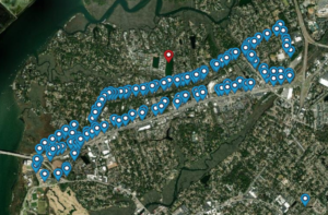
Pins are one of the most utilized tools within the Latapult platform as it allows customers to create and organize their own ideas and data on a map. For instance, through Pins, users can import a CSV that includes coordinates or addresses, or a KML file of points into a pins group. From there, users are able to pick two columns from the CSV attributes to be loaded into the Name and Comment fields of the pins — allowing for greater organization.
Customers often use pins to import CSVs containing coordinates, owner name, and comments from a site visit. The coordinates are used to create the pins, and the information is stored in the Name and Comments field. These pins are then used to manage the due-diligence process from within Latapult.
FAQs About Data Importation Answered by GIS Experts
Pretty simple, right? In the case a user does run into any obstacles, we pulled some of the top questions asked about this data importation feature to help troubleshoot.
Why isn’t my data importing in the correct place within Latapult’s GIS platform?
- Drawings and shapefiles often need to be assigned a geographic coordinate system to be imported in the correct location. Also, Latapult’s system works best with State Plane Coordinates, so users will want to make sure that drawings have one assigned to it.
Why isn’t my zipped shapefile importing?
- Shapefiles are composed of a handful of different file types. Rather than zipping up the folder they are stored in, select all the different part of the shapefile and zip those up. Each component will have the same name with a different file extension.
I don’t have a program to view these files beforehand. Why am I having difficulty importing?
- If you do experience any issues with viewing or importing your own data, our Customer Success Team is happy to look at the files and even hop on a call to help you view or import as needed.
Interested in importing searchable datasets, creating your own features, or integrating with an existing CRM? Contact our Customer Success Team to discuss your team’s goals.