
Success Story: One Year Later, The Landings Association Reflects on the Utilization of Latapult (Formerly geothinQ) During the Tropical Weather Events of 2016
November 28, 2017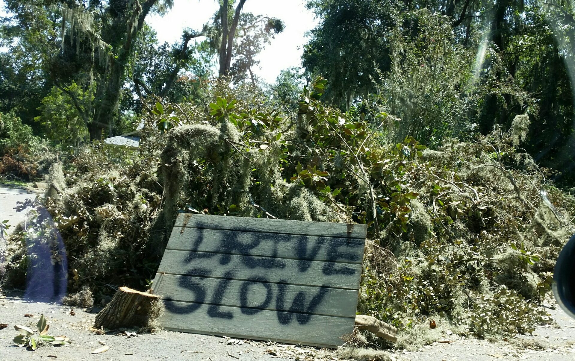
The Landings Association’s Use of Latapult for Weather Event Recovery
Downgraded from a Category One Hurricane after initial landfall in Northern Florida, Hermine made her way across southern Georgia in the early hours of Friday, September 2, 2016. Hermine brought maximum sustained winds of 50 mph and 4 inches of rain, although over 25,000 homes went dark, emergency officials considered the Savannah area relatively spared.
Tropical Storm Hermine was not as forgiving to residents of The Landings on Skidaway Island, a planned residential community southeast of Savannah, comprised of over 4,000 private homes and six golf courses, where an EF1 Tornado touched down off the Romerly Marsh at 5:12 AM. The tornado lasted just three minutes but traveled 1.67 miles (one-third of the island’s length). Sustained wind speeds of 110 mph wreaked havoc and caused structural damage on 55 private properties.
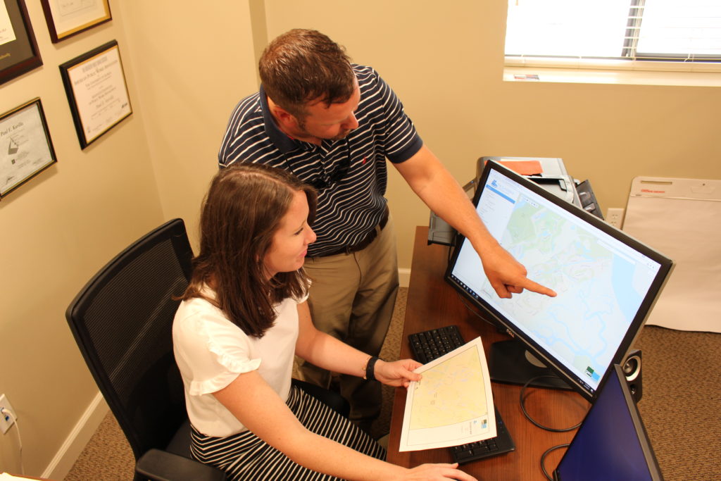
The Landings Association (TLA), the property owner’s association for The Landings and Latapult (formerly geothinQ) customers since 2014, needed a way to survey property damage in the wake of the storm. “Tracking and categorizing property damage was incredibly time-sensitive,” says Community Development Manager Preston Parfitt.
“Latapult allowed us to utilize our lot layer to track the level of damage on each property in real-time.”
Preston Parfitt, Community Development Manager
To respect the privacy and sensitivities of residents who were shocked at the destruction caused by a seemingly minor storm, TLA used Latapult’s mobile data collection capabilities on iPads to sweep the hardest hit areas of the community and identify the private properties that received structural damage as a result of Tropical Storm Hermine and the associated tornado. TLA issued restoration permits for construction efforts to each resident while updating individual features (private lots in this case) on Latapult. “Once we returned to the office, we observed the patterns of property damage, including an almost mirror image of an estimated tornado path by the National Weather Service,” Parfitt said.
Employing Latapult to track the damage to Tropical Storm Hermine allowed TLA to collect important property data and revisit it throughout the reconstruction process with Latapult’s centralized data visualization platform. TLA charted the status of homes that received restoration permits the morning of the storm throughout the reconstruction process, which ranged from a few days to an entire year, using Latapult’s data storage and input functions.
For TLA and the greater Savannah area, Tropical Storm Hermine served as a dress rehearsal for what has since been called Savannah’s storm of a century, Hurricane Matthe,w which touched down in Savannah on Thursday, October 6th, 2016. The Landings alone had over 400 homes with structural damage due to Matthew and used Latapult to survey their community in its most vulnerable hour once again.


