GIS Data Solutions Designed to Save Time and Money
February 15, 2024
Sifting through unorganized land data that is often spread out between different resources can create many challenges for land stakeholders managing robust project workflows. For instance, disparate data increases the time it takes to research land as stakeholders have to manage multiple logins and payments, and sometimes even travel to government offices to review necessary data in person.
Between team, client, and project management, you already have a lot on your plate without the added stress of hours-long land data research. But what used to be a time-consuming process of locating and accessing land data now only takes minutes with Latapult’s GIS data at your fingertips.
Continue reading to learn how some of our most popular tools can improve land acquisition and development workflows to achieve greater success with your next project.
GIS Data Solutions Improve Land Acquisition and Development Workflows
When doing your due diligence searching for suitable land for your next project, our Nationwide Parcel Searches solution helps find prospective properties more quickly based on your specific criteria. Our platform also allows you to take a deeper dive into the data you’ve found using various Data Visualization tools like Buildable Area and Layer Explorer to get an even better sense of property features.
After this first phase of your research, you may have seen multiple land parcels that meet your specified criteria. To help narrow your options even further, our environmental datasets help identify potential pitfalls based on features such as wetlands, soils, and elevation that are sometimes missed if having to shuffle through various data sources.
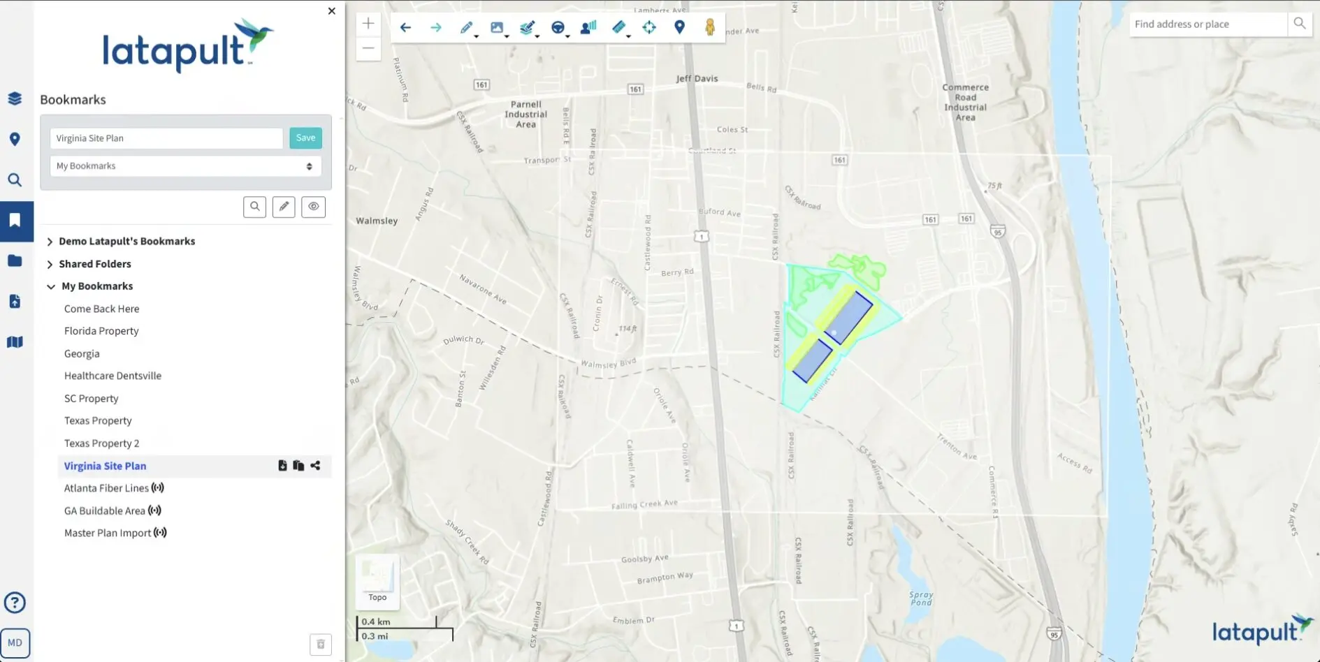
Once you’ve found suitable land for your next project, our GIS data solutions can help keep teams organized through the development phase. For instance, you can use Bookmarks to save land mapping analysis for each of your projects that can be reviewed at a later time and easily shared with your team to enhance project management. You can also:
- Create Maps for team reports and client presentations so that all individuals involved understand project needs.
- Import Files such as CAD, SHP, KML, and CSV to make Latapult a true one-stop shop for all of your project management needs.
- Export Data from our platform to fit into your team’s workflows.
These are just some of the tools within Latapult that can improve your workflows. Because we have customers from many different industries, ranging from AEC to solar, we’ve designed our platform to be adaptable and scalable to meet all land mapping needs. So, whether on a local or national scale, our GIS data can help you achieve positive outcomes based on your unique land mapping needs.
Want to learn more about how you can easily implement GIS to efficiently access and assess land data? Download our latest playbook to learn how some of our customers have done it.


