All Roles
Compatibility With Planning Software
July 6, 2023
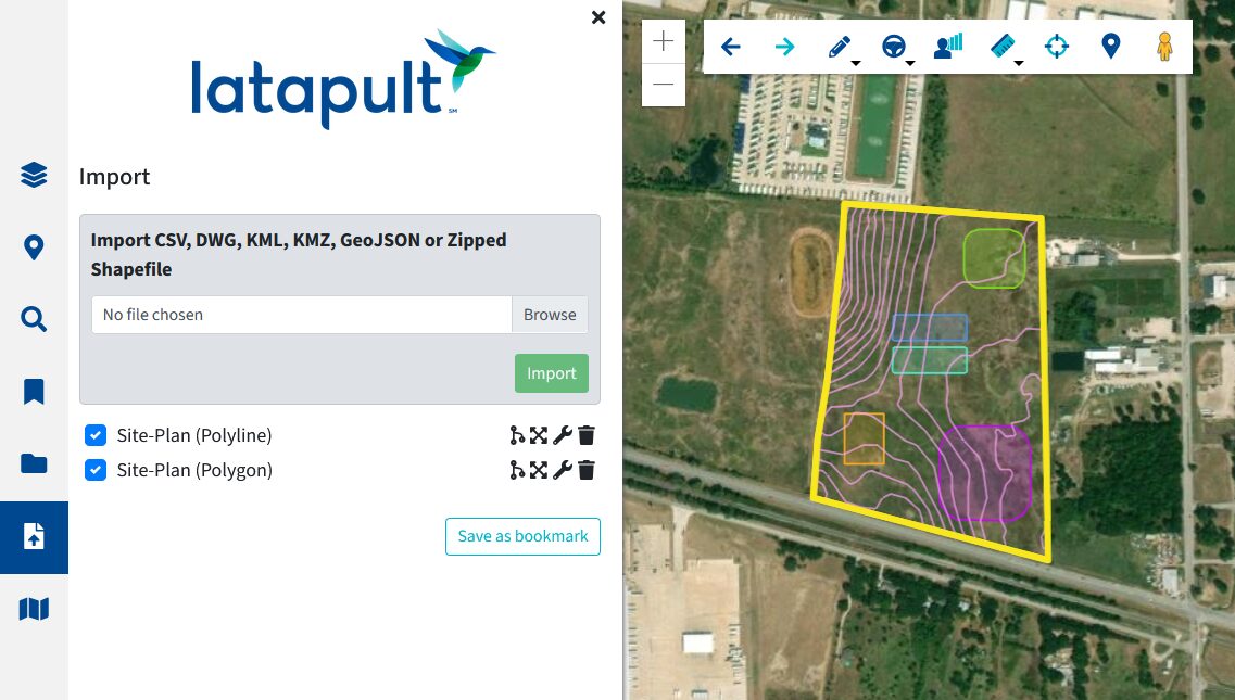
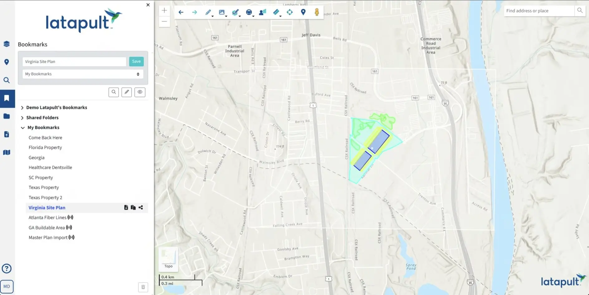
Geographic data comes from all types of sources, and Latapult has created a tool that helps you get your data on the map without disrupting your workflow. Import CAD files, ESRI shapefiles, and Google Earth files specific to a site alongside Latapult data. These formats are industry standard for Civil Engineers, GIS professionals, and Consumer Mapping specialists.
How Do Our Clients Use This Tool?
Today’s real estate market is constantly evolving, and the demands and tastes of homeowners are reflected in new developments. Engineering firms that use Latapult can take their CAD files and import related line work for properties into Latapult. Plans can be shared with those who do not use CAD software via Latapult.


