Real Benefits of GIS Integrations with Latapult Custom
July 19, 2024
Many organizations collect proprietary data through internal systems like CRM or project management tools, or they regularly receive data through APIs, data warehouses, or FTPs. Data and insights collected in these programs ensure land analysts can make informed business decisions, but switching between systems to compare siloed information can be cumbersome and time-consuming. Organizations that break down these silos can assess land and draw key conclusions much faster than the competition.
We offer flexibility through Latapult Custom so our clients can access tailored GIS data layers.
View Proprietary Data and Files on a Map
Rather than piecing together information from multiple sources in separate systems, Latapult Custom allows clients to compile all data, including owned datasets, proprietary files, and site plans or ancillary market information acquired from other sources in one place. Clients gain a comprehensive view of land to determine the feasibility of site plans and view important details based on location.
Homebuilder Gets all GIS Mapping Data in one Software
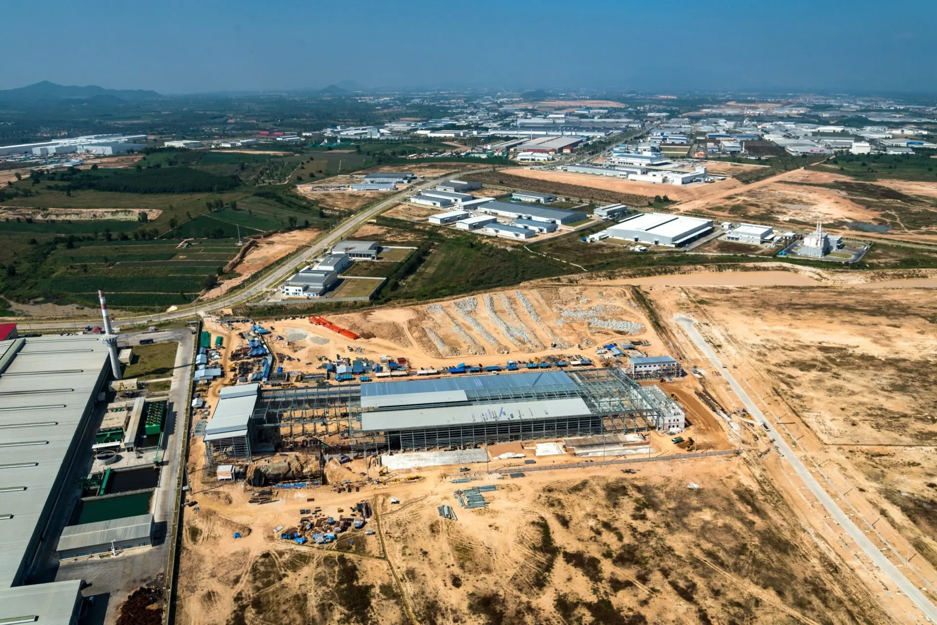
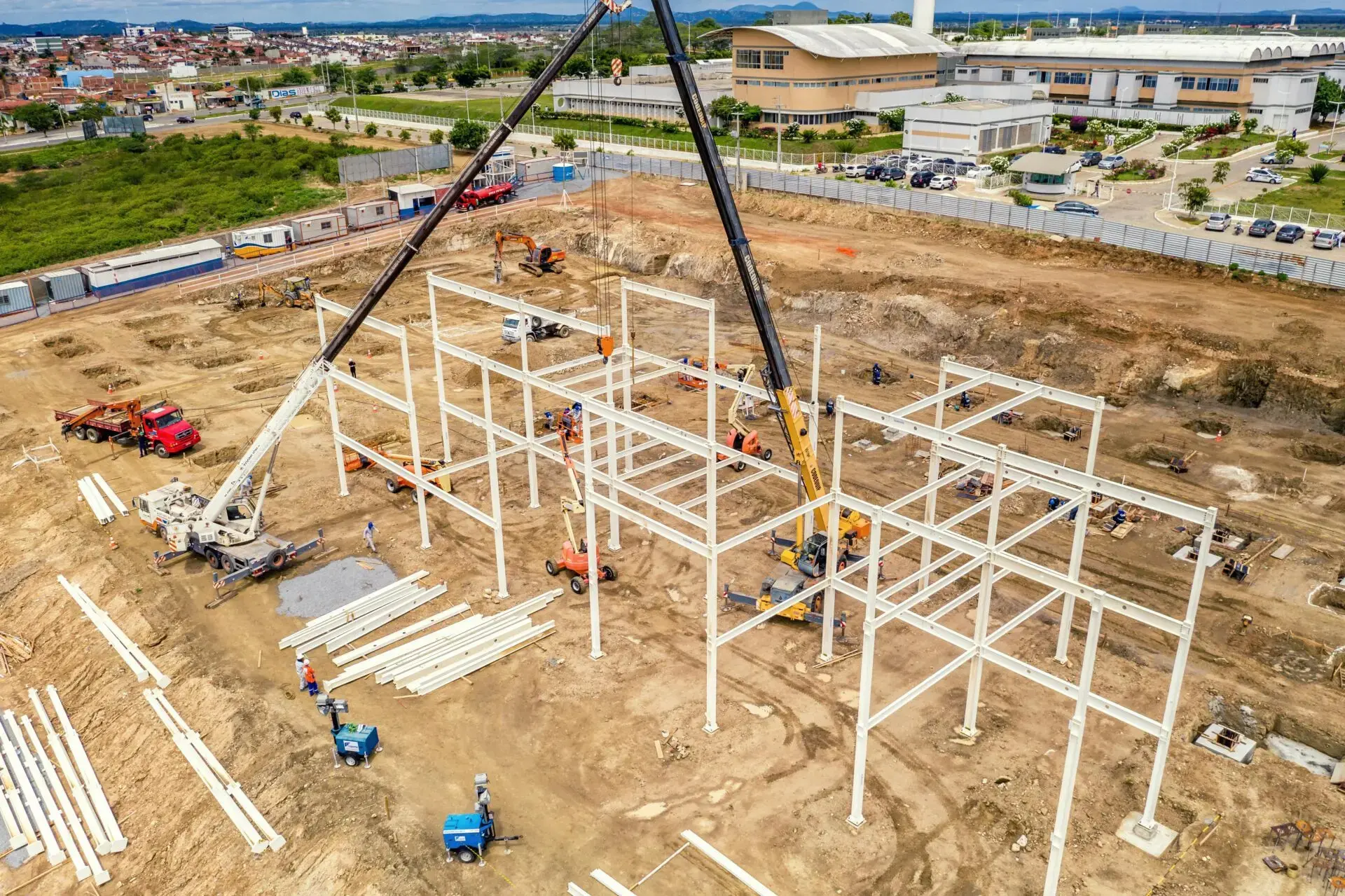
A full-service real estate development, construction, and management company acquires tabular developer information daily from the city to its data warehouse. Serving over 200 families a year, this residential real estate development company is focused on moving quickly and being solution-oriented to provide exceptional quality homes every time. Having the latest version of developer data is crucial for the company to understand its market and determine the return on a land investment or development project.
Before Latapult Custom, the company was forced to look at ancillary information in a silo and an unfavorable table format, causing project discrepancies and elongated project timelines. During a meeting with the GIS client support team, the company expressed the desire to have their data in a visual format like Latapult’s dynamic GIS mapping views. We quickly got to work to make this a reality for the homebuilder.
In a short time, the homebuilder had access to their very own, ultra-tailored data layers built with the assistance of our geospatial experts. Now, Latapult automatically connects to their outside data to refresh the custom data layers each night with the latest information without lengthy turnaround times.
The full-service real estate development, construction, and management company can now use consolidated data sources to easily overlay layers and city data points geospatially on a map. This enables them to uncover patterns and relationships not visible in data tables and forms. The ability to focus on an area and see city data alongside Latapult’s datasets like due diligence layers allows the homebuilder to get a holistic picture of housing trends to be more strategic and action-ready.
Level up Project Tracking With Dynamic GIS Mapping
We also partner with our clients to truly understand their processes–whether they work with physically dispersed teams and clients or cross-functionally with teams in multiple disciplines. No matter how a team operates, collaboration is key to achieving true success. From land analysts and site selectors to managers and planners, our platform enables efficient insight sharing. But when teams need even greater project tracking capabilities, we’re here to design a GIS database tailored to any workflow. Such layers help clients facilitate automatic sharing and keep tabs on project status across teams. Take an investment firm as an example.
Investment Firm Integrates its CRM With GIS Mapping Software
One nationally-focused client supports small and medium-sized businesses through investment banking and financial advisory services. Operating nationwide with a variety of projects, the company needs to keep an expanded pulse across various markets. To do so, the firm requires specific datasets from public sources. These go beyond Latapult’s comprehensive datasets to help focus land acquisition and investment searches. But when acquiring such data from outside sources, the investment firm lost out on the speed and intuitive nature of Latapult’s dynamic mapping capabilities.
Within a short time, our team of geospatial experts had the firm’s ancillary data layers up and running. Because of this integration, the firm can search the parcel data and run searches within their specified zones. This whittles down large lists of potential investment locations to just target properties it wants to pursue.
Once the client saw how Latapult could streamline its searches with custom features, they came to us to explore integration capabilities.
The investment firm used a real estate CRM to track projects and communicate information across its multi-disciplined teams. But switching between their CRM and Latapult to view data and make decisions became too time consuming. Again, our team sprang into action integrating Latapult with the firm’s CRM system. This helps the firm improve internal workflows since it can visualize projects and get tabular data from dispersed teams. Now they can view project information on a map and easily compare it to other datasets, alongside parcel ownership and due diligence layers. From tracking land deals to seeing them on a map, the firm uses Latapult to navigate the entire land acquisition process.
What’s Next?
- If you’re a current client, speak with one of our experts to learn more about how Latapult Custom can grow with your business.
- If you’re not yet a client, let one of our GIS experts show you around our dynamic mapping and collaboration tools.