Top 5 GIS Due Diligence Layers Residential Developers Miss
June 24, 2025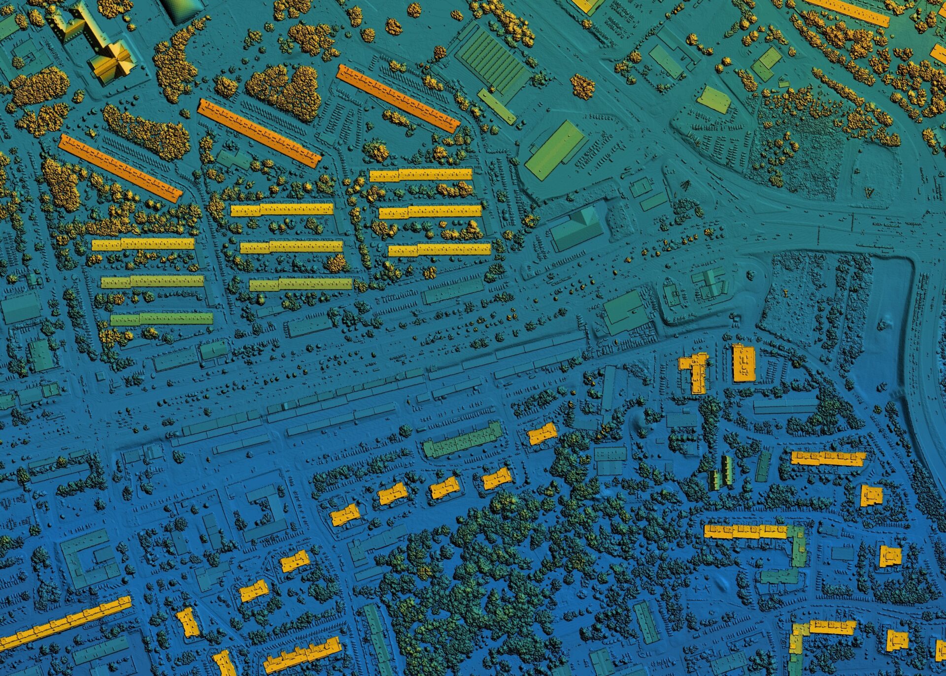
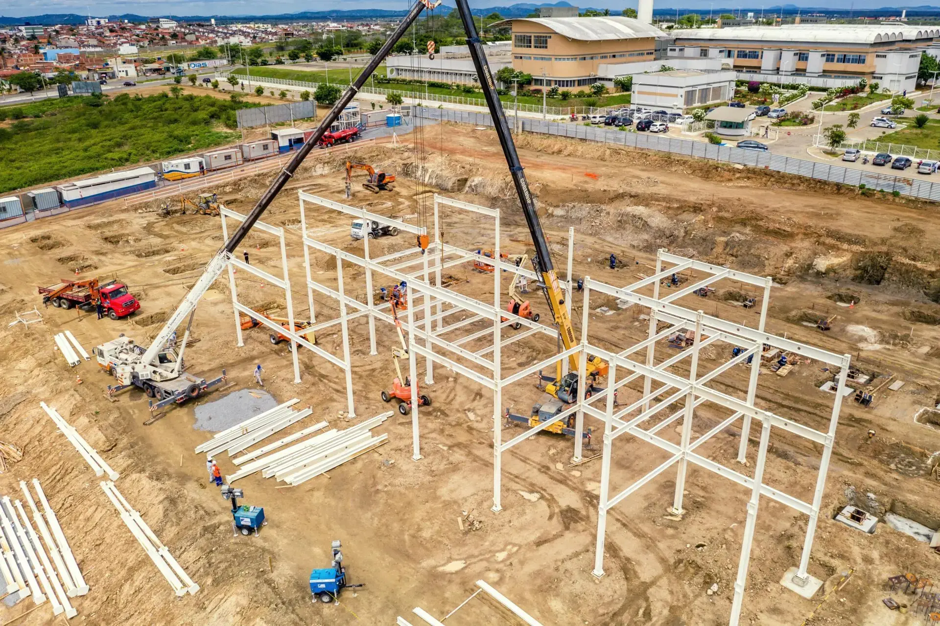
The due diligence phase in residential land development is no walk in the park. From zoning regulations to topography analysis, teams manage vast datasets needed to evaluate potential project sites. However, in the race to meet deadlines and secure sites, some critical GIS data layers may slip through the cracks. Skipping these layers can lead to costly delays, unexpected permit issues, or even failed projects.
The good news is these pitfalls are avoidable. Tools like Latapult equip teams with advanced GIS capabilities that enable deeper, smarter due diligence. Integrating overlooked data layers early in the residential development process helps builders mitigate risks and make more informed decisions.
Here are five commonly overlooked data layers that you can’t afford to miss when assessing project viability.
1. FEMA Flood Zones & Historical Flood Data
Why it matters: Flood risks can stall or completely derail a plan. Understanding FEMA flood zone classifications is a good first step, but historical flood patterns and updates to flood insurance rate maps (FIRMs) are also critical. Relying on outdated data can leave projects vulnerable to unforeseen risks.
What to evaluate:
- FEMA high-risk flood zones (e.g., A and AE boundaries)
- Historical repetitive loss properties
- Changes in FIRMs
- Existing drainage infrastructure and watershed data
Latapult advantage: Latapult allows you to visualize floodplain overlays side-by-side with parcel data and topography. With interactive map annotation tools, it’s a breeze to highlight and share risk findings instantly with stakeholders to ensure proactive, well-informed decisions.
2. Soil Suitability
Why it matters: Not all soil is created equal. Unsuitable soils can affect foundational stability or septic feasibility, especially in rural or exurban areas. Failing to evaluate soil-related constraints upfront can lead to unforeseen expenses during construction.
What to evaluate:
- Soil classifications via Natural Resources Conservation Service (NRCS) data
- Presence of hydric (poorly drained) soils
- Soil-bearing capacity
- Drainage and permeability ratings
Latapult advantage: With built-in USDA and Soil Survey Geographic Database (SSURGO) layers, Latapult’s platform empowers development teams to filter potential sites based on soil constraints. This means teams can pinpoint and share pre-screened locations with engineers early in the process to avoid pricey design revisions.
3. Environmental and Habitat Constraints
Why it matters: Environmental regulations and habitat protections can halt projects during permitting. Issues like wetlands, riparian buffers, or habitats for critical species can significantly limit buildable acreage, so spotting these constraints early saves time and the stress that accompanies a late project rejection.
What to evaluate:
- National Wetlands Inventory (NWI)
- Protected habitats for federal/state-listed species
- Conservation easements and protected lands
- Streams, buffers, and riparian corridors
Latapult advantage: Latapult users can layer environmental overlays alongside parcel and zoning data, making it easy to find compliant areas for development. The platform’s buildable area calculation tools let teams visualize net usable acreage after applying exclusions and buffers to help refine site feasibility.
4. Existing Easements and Utility Corridors
Why it matters: They’re often overlooked until later in the process, but easements and rights-of-way can consume large portions of usable land. Overlapping utility rights-of-way, gas pipelines, or powerline easements can introduce significant design restrictions and even safety concerns if ignored.
What to evaluate:
- Utility easements for power lines, water mains, and gas pipelines
- Existing access roads or rights-of-way
- Potential conflicts between easements and intended infrastructure
Latapult advantage: Latapult’s advanced tools make it easy to overlay easement and utility corridor information with parcel data, enabling teams to identify limitations from the get-go. Measurement tools allow you to evaluate buffer zones and modify site designs before heading to engineering, saving time and money.
5. Proximity to Local Amenities
Why it matters: The livability and market desirability of a residential development depend heavily on its proximity to critical amenities such as grocery stores, schools, and healthcare facilities. Sites located in “food deserts” or far from community hubs may struggle to attract buyers without additional investment in infrastructure or services.
What to evaluate:
- Walking and driving distances to nearby grocery stores, schools, and gas stations
- Presence of food deserts or oversaturated retail areas
- Surrounding land use and infrastructure quality
- General walkability and drive-time accessibility
Latapult advantage: The Points of Interest feature provides a comprehensive analysis of the amenities surrounding a project site. Using drive-time buffers, developers can identify service gaps, evaluate site livability, and understand how well a site aligns with the needs of target buyers — all before committing to a purchase.
Intelligently Designed Solutions Prioritize Smarter Due Diligence
Latapult goes beyond just providing GIS data. Our tools enable residential development teams to collaborate efficiently, ask smarter questions, and make better-informed decisions throughout the process. With features like buildable area analysis, interactive mapping tools, and access to over 250 data layers, Latapult is the go-to platform for modern land development planning.
Whether you’re evaluating a 10-acre infill lot or a 500-acre suburban expansion, our scalable, purpose-built platform can handle the job, thanks to key features and capabilities such as:
- Multi-layered GIS data access: Environmental, infrastructure, regulatory, and demographic data at your fingertips.
- Real-time collaboration: Share maps and annotations across acquisition, engineering, planning, and marketing teams.
- Customizable layers: Integrate municipality-specific overlays, private utility maps, or custom datasets.
Turn Data into Smarter Decisions
The right GIS tools can transform how residential development teams approach site selection and due diligence. By incorporating often-overlooked layers like environmental constraints, historical and revised flood risks, and local amenity gaps, you can mitigate risk, reduce costs, and create communities that stand the test of time.
Don’t get blindsided by missing data. Schedule a discovery call with a Latapult expert and start redefining due diligence for residential development.