Using GIS Mapping for Regional and National Land Searches
July 16, 2024
We dove into how GIS can help industry leaders like real estate brokers and AEC firms conduct local and metro specific searches, but with Latapult’s scalable mapping technology, users can also perform land searches on a regional or national scale.
Here’s how various industry leaders, like solar developers and land acquisition managers, use Latapult for large searches to make stronger land decisions:
Using GIS Mapping for Large Scale Land Research
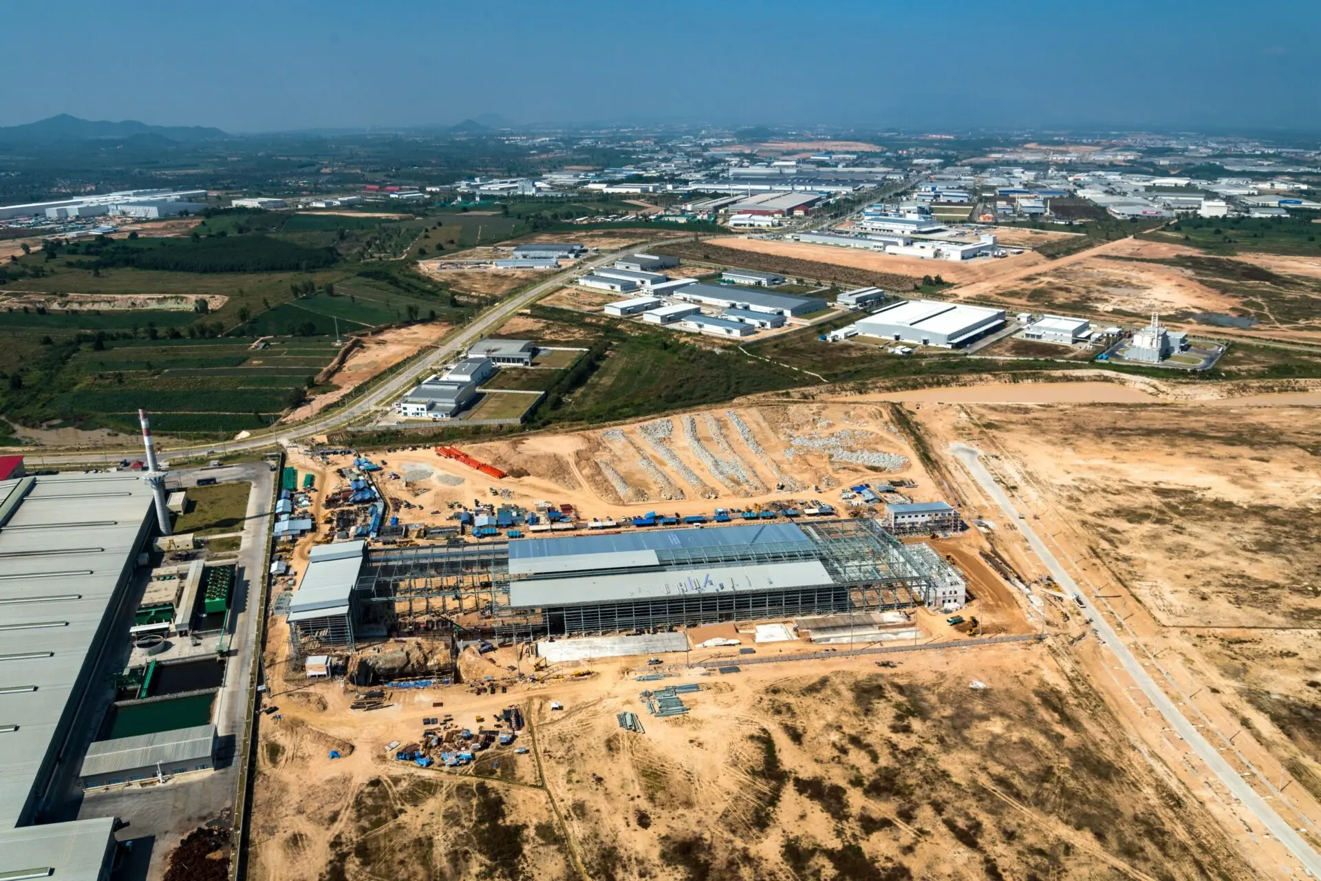
From the search phase to property development, developers and land acquisition managers need GIS at their fingertips for current and future projects. That’s where Latapult’s land data spanning the entire United States comes into play.
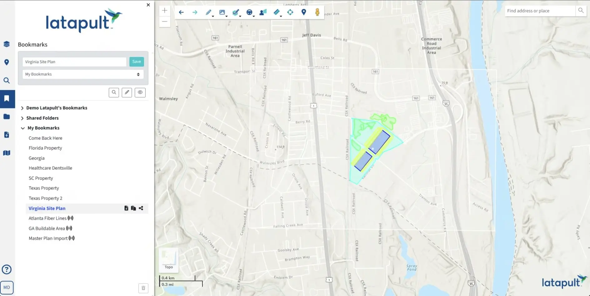
Paired with extensive land layers and development constraints, our scalable platform allows users to fit GIS software into varying workflows — including broad, regional land searches.
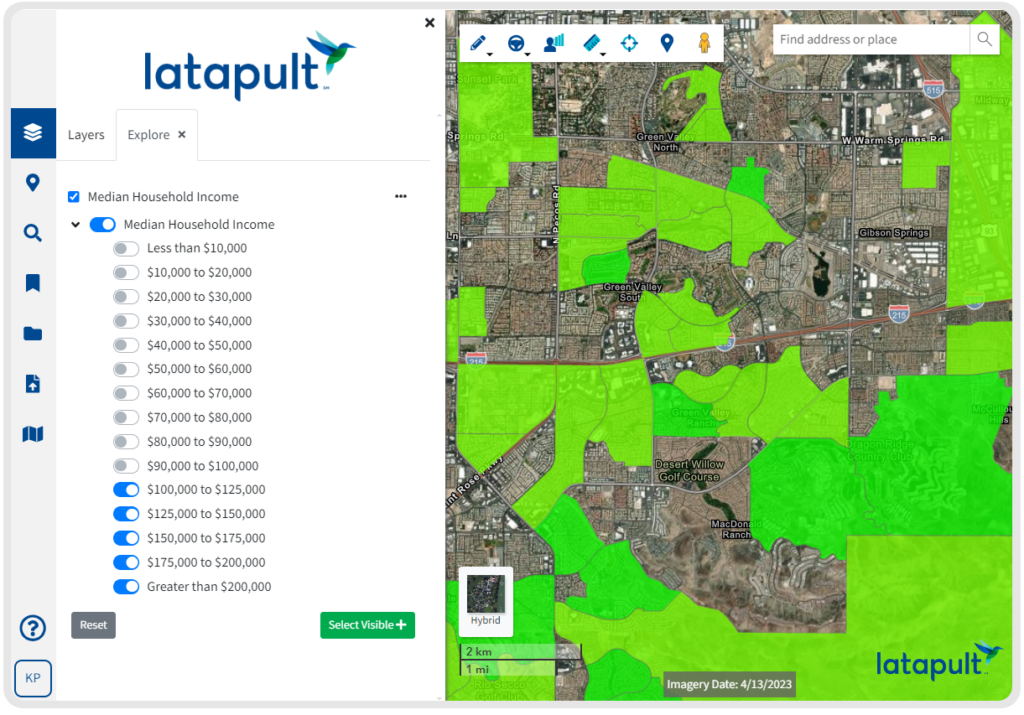
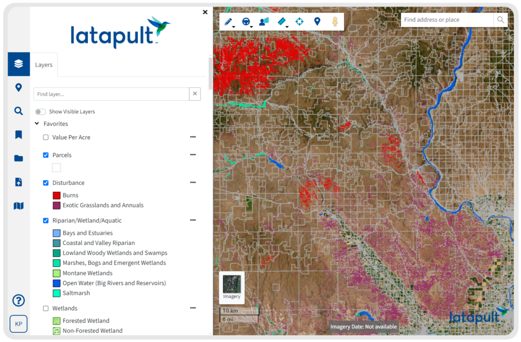
So, depending on a team’s workflow and data needed, Latapult can be used for a multitude of search types. For instance, instead of cycling through various sources of land data, Latapult allows developers and acquisition managers to quickly search for properties that match desired land attributes such as soil types, elevation, upland and more. Or, through more advanced searches, users can retrieve in-depth parcel data, such as property values and more, to better evaluate investment options.
How Latapult Users Use GIS
Despite needing the same quality of regional data, land acquisition managers and solar developers use GIS in different ways to meet team and workflow needs.
For example, land acquisition managers begin their searches for land with specific instructions and criteria based on investor and market needs. Instead of filtering through multiple sources of land data from different regions and municipalities, land acquisition customers use Latapult to quickly search for properties that match the desired land attributes. For instance, Latapult can help weed out unfit options as acquisition managers explore properties for criteria such as wetlands, soils, elevation, FEMA and more.
Solar land developers, on the other hand, must find buildable property in close proximity to a grid in order to be successful. Therefore, instead of spending days combing through county records or aerial photography for necessary data to find proper distribution lines, transmission lines and substations, with Latapult, solar developers can access this large-scale data all in one place in just minutes.
Learn more about our scalable GIS software to see how our solutions can help your regional land searching process.