The Ultimate Guide to Data Center Site Selection and Development
May 1, 2025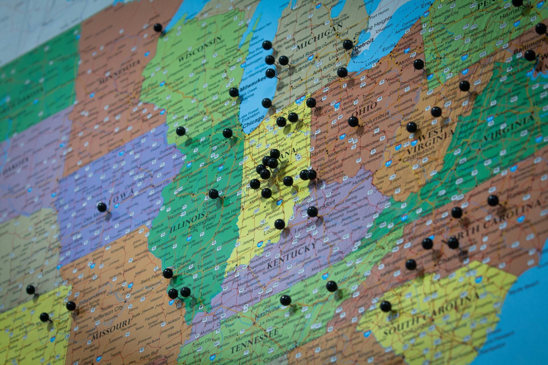
The need for high-performing data centers is greater than ever, thanks to the application of AI, everyday technology, digital transformation demands, and growing cloud computing preferences. Developing these critical infrastructures, however, is no simple feat. Data center developers face increasing challenges around finding the perfect site, crafting efficient plans, and navigating ongoing maintenance.
Introducing GIS and land mapping software to the development process has already made a world of difference. Supporting developers with data-driven insights enables them to optimize everything from site selection to post-construction support. This guide dives into the complexities of data center site selection and development — and shows how GIS technology can make each phase a lot simpler, cheaper, and more collaborative.
GIS Systems Support Data Center Development from Start to Finish
1. Site Assessment and Selection
The foundation of any data center project begins with selecting the right site. An optimal location should check all the right boxes, including proximity to power grids, fiber lines accessibility for logistical operations, and a climate conducive to efficient cooling. Thoroughly evaluating land suitability to make sure these and other criteria are met requires a lot of time and resources.
GIS tools with features like suitability analyses and environmental impact studies make this process easier and more efficient for teams to evaluate a site’s potential. GIS tools are designed to layer critical variables such as terrain features, climate data, and zoning regulations to identify ideal locations quickly.
2. Site Planning
Once a site is selected, the planning stage begins. This step requires intricate layouts to consider geographic and topographic constraints around accommodating infrastructure, including cooling systems, power supplies, and server rack arrangements.
GIS-driven mapping tools shine here, allowing developers to visualize infrastructure placement and flag potential issues early. Tools like buildable area analysis are great for outlining where structures can be built and suggesting efficient layouts that maximize a site’s potential.
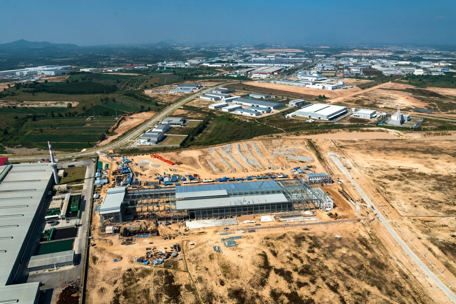
3. Development and Execution
Collaboration among stakeholders is critical during development. Engineers, planners, and financial stakeholders must align on specifications, timelines, designs, and more. But traditional workflows often involve fragmented communication between teams, which delays progress.
Avoiding those dreaded setbacks is as easy as using GIS tools to provide real-time mapping and shared access. Latapult’s shared bookmark folders enable project teams to collaborate by sharing live maps and annotations. This promotes synchronization and reduces miscommunication between stakeholders during development.
4. Ongoing Support
After the construction is completed, the need for site support doesn’t vanish. Data centers require ongoing monitoring for maintenance, optimization, and performance tracking.
GIS tools allow data center operators to track things like utility infrastructure, site conditions, and even expansion opportunities. Utility details for each location — such as power line access or substation proximity — can be stored in a central location and easily shared when needed. Also, once companies have their sites up and running, they can add them to databases that keep track of existing data centers. Information and metrics on each center can be conveniently accessed by others in a company looking for the scoop on existing sites.
Latapult’s GIS Features Help Site Developers Turn Data into Action
When it comes to GIS solutions, Latapult’s advanced tools take data center site selection and development to the next level. Let’s take a closer look at how the features mentioned above bring tangible benefits to developers:
- Fiber Lines and Electricity Data: This information helps developers identify properties with the necessary telecom and electrical infrastructure, such as fiber connectivity, transmission lines, service areas, and substations, to ensure a site can support a data center.
- Comprehensive Data Layers: Latapult provides unparalleled access to GIS data, from environmental factors to topographic and demographic insights. This enables developers to forecast potential roadblocks and act proactively.
- Buildable Area Analysis: This feature helps identify viable construction zones on a plot of land by analyzing constraints like elevation, flood zones, and zoning restrictions, saving teams hours of manual work.
- Shared Bookmark Folders: Collaboration tools streamline stakeholder communication by allowing users to share live maps, progress updates, and insights in real time.
- Custom Integration: By integrating with CRMs and enterprise platforms, Latapult’s tools ensure that all critical project data is seamlessly coordinated across teams.
Latapult in Action
One Latapult client in the southeastern United States is leveraging Latapult’s comprehensive electric and fiber data to identify potential sites for their customers’ new data centers.
Utilizing a custom layer, they precisely track and analyze potential sites based on their customers’ needs, then, with the shared bookmarks folder feature, they share site research and information directly with customers. This collaborative approach enables Latapult’s client to efficiently communicate complex site details and accelerate the decision-making and site selection process. Being able to adapt to customers’ preferences while streamlining workflows that traditionally consumed months of manual labor is a clear win-win.
GIS Tools Offer Serious ROI in a Variety of Areas
Adopting GIS tools for data center site development offers more than just convenience and speed. The approach also delivers measurable financial and operational benefits, such as lower costs, faster approvals, and smoother negotiations.
Clients report saving at least $1,000 per user each month, with many experiencing significantly greater savings as they reduce resource allocation, manual searching, and repetitive tasks. Additionally, GIS systems minimize costly risks associated with late-stage project changes or infrastructure inefficiencies. The systems generate detailed visual maps and insights that strengthen communications between jurisdictions and stakeholders during project approvals. By explaining environmental impacts or capacity capabilities through data-backed visuals, teams can secure faster buy-ins.
That efficiency also translates to internal teams using GIS systems. User-friendly interfaces and engaging features encourage adoption by teams, allowing members to quickly incorporate GIS into their daily processes and tasks. This not only unifies departments but also fosters a company-wide culture of data-driven decision-making.
Revolutionize Your Data Center Workflow Today
The future of data centers is grounded in innovation. Integrating GIS tools into your workflows will enable your team to tackle complex challenges head-on, save on costs, and maintain a competitive edge.
Latapult offers cutting-edge GIS solutions tailored to your organization’s needs, whether you’re planning your first site or optimizing one of many facilities in your portfolio. Avoid falling behind in a data-driven world. Schedule your demo with Latapult today and harness the power of GIS for your data center development.