How Using GIS Data Can Impact Your Company’s ROI
October 15, 2021
Searching through disjointed and inconsistent land data sources can cost a company both time and money. For example, some projects require metro-specific land data that is only available by physically traveling to government offices and searching through countless county resources, a time-consuming process that has the potential to delay the progress of a project.
With GIS software at your fingertips, land stakeholders like you don’t have to spend that additional time or resources to ensure the success of a project. Instead, you can streamline workflows and improve communications — ultimately boosting your company’s bottom line — with metro and regional data all in one place.
Here’s how you can use Latapult’s GIS data platform to your advantage:
Latapult’s GIS Data Solutions Are Designed to Boost Your ROI
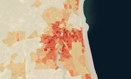
Time can be of the essence during a land project, and slow data collection can cause delays in productivity. With Latapult’s GIS platform, you can save time throughout the research phase all the way to project completion with detailed search layers and robust analytical solutions like our proximity tools and buildable area features. In fact, what used to take a team hours during data collection now takes minutes. With Latapult, you can create a map in less than a minute and even search nationwide parcel data in a matter of seconds.
But our GIS data doesn’t just help improve efficiency. With personalized mapping capabilities, Latapult provides the ability to customize maps through pins and graphics in order to improve workflows and your team’s collaboration skills. And for external collaboration, using Latapult to create PDF versions of maps or reports can increase client satisfaction or be used to close new deals. And speaking of new deals, our variety of regional and state data can also give you the ability to enter new markets with confidence.
Choose GIS as Your Go-To Resource for Land Data
Saving time, aligning teams and ensuring client satisfaction is only the beginning of what GIS can do for your company. Latapult can also improve your bottom line, as our platform can be a one-stop-shop solution for all of your data needs. By importing files, you can have all of your land data in one place for ease of use, eliminating the use of numerous tools and ridding the need to remember multiple logins and pay for various software subscriptions.
On top of making our technology easy to use, we’ve designed our packages with affordability in mind. Check out our various plans and get started with GIS to improve your bottom line today.


