Pinova’s Role in The Forest Life Cycle
April 11, 2018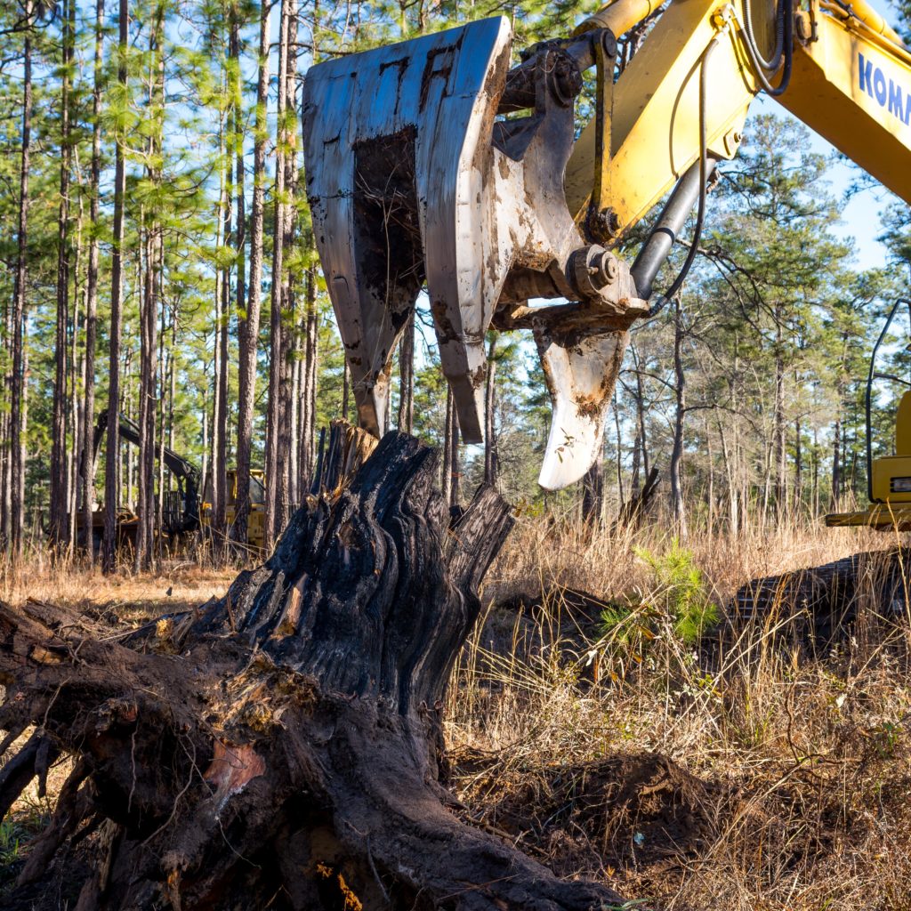
Pinova is a world leader in the production of rosin, resins, and polyterpene resins, both of which are derived from pine trees. Wood rosin, known simply as rosin, is extracted from the stumps of pine trees that were previously harvested for their timber. Pinova uses this by-product of the forestry industry as its foundation for a range of resins that are used in products that people interact with every day, such as sports drinks, asphalt, chewing gum, and cosmetics.
Rosin is removed from the stumps of naturally grown longleaf and slash pine trees, which are found in large quantities on forested properties of private landowners and on lands managed by paper companies and consulting foresters. The pines grow thick and dense and their growth rate and durability make them the prime choice for lumber used in construction. This growth process is opportune for Pinova because after the pines are cut, left behind is a rosin-rich stump that has steadily expanded with the tree.
Stump harvesting is beneficial for both humans and the environment. Landowners and neighbors no longer bear the cost or nuisance of having additional stumps cleared. Landowners’ removal of stumps from forest land allows for natural reforestation to commence and reduces the amount of fuel on the ground for controlled burns.
Time Doesn’t Grow on Trees
The Pinova team comprises 16 foresters that live in the 7 states where indigenous long leaf and slash pines grow. Day in and day out, it is their job to identify and assess what kind of trees grow on various land tracts, who owns them, and if they are ripe for stump extraction. Each forester has a 150-mile radius where they must track the status of pine tree growth and clearing.
Pinova’s success as a business is dependent upon its ability to reliably acquire an increasing amount of rosin to support its business growth. Their Foresters needed to be more productive in this endeavor. Before enlisting the help of Latapult (formerly Latapult), about 50% of their time was consumed by land track exploration and acquisition. Before even visiting the sites and proprietors, foresters relied on Google Earth, various county and city GIS websites, and visits to the county courthouse to find details on land ownership and attributes. This property and parcel information was often stored across mediums and not always readily accessible. Once this information was acquired, foresters relied heavily on networking with timber cutters and word-of-mouth to access tracts of land. This was a manual effort that necessitated being at the right place at the right time to settle access to the land and secure the stumps.
This process for identifying and acquiring land tracts did not scale well and would not support the company’s growth plans. Pinova needed a system that would enable them to be more effective and efficient, while also providing new tools and historical data to help novice foresters. In January 2017, the company began utilizing the Latapult Custom platform for its specific needs.
Latapult and Pinova at work
Using Latapult has revolutionized Pinova’s ability to locate and extract stumps. Now, Foresters can plan their route for the day and view all the property ownership data they need to make accurate estimations of where stumps may be located, leading to more concise and thorough business deals.
Our entire objective is to improve the productivity and efficiency of our Foresters. Latapult has brought the forest to our fingertips.
Carla Toth, VP of Business Development and Wood Sourcing for Pinova
Pinova foresters use Latapult primarily for locating stumps and obtaining information about the land they are located on. Foresters can visually examine topography, soil data, and intricacies of satellite imagery to tell whether a tract is viable. Access to aerial imagery is especially advantageous when determining the type of tree and how it was planted, since the rosin Pinova is only interested in natural stands of longleaf and slash trees vs planted pine trees. Recently, the integration of clear-cut data, extracted from the Landsat Earth-observing satellite program, allows foresters to observe patterns of foliage and drastic changes such as fire or clear-cutting. Latapult gives Pinova the power to quickly and efficiently weigh the challenges versus the opportunities of stump procurement.
When dealing with landowners and managers, as well as contractors, Latapult has brought a heightened level of professionalism to Pinova’s team. The foresters must coordinate with 32 stump removal contractors across their wide service area. The nature of their work and the expanse of territory each forester is responsible for means they rely heavily on the mobile GIS capabilities of Latapult and data visualization that is accessible in the field. Using Latapult gives them added certainty to understand land access and conditions, so they can develop the most efficient route to harvest and remove stumps and then prepare those involved accordingly.
Legacy Building
Pinova continues to expand its use of Latapult by geographically tracking historic stump tracts. Pinova will extract and quantify GIS layers for each stump tract, including soil classifications, topography, and rosin content. By capturing with Latapult what they have already harvested and what they are currently harvesting, Pinova can better plan for the future.
Pinova would not be over a century old without a strong commitment to sustainability and environmentally-centered stewardship. Latapult plays a key role in the business sustainability initiative by supplying Pinova with the resources needed to locate the best quality stumps.
Latapult is an asset in establishing institutional knowledge for future employees. A majority of Pinova’s foresters are near retirement age, so succession planning is necessary to keep the business thriving. As younger, more tech-savvy foresters assume these positions, they are no longer given a stack of business cards and contacts; instead, they are given access to Latapult, which also now serves as a CRM platform. Information on leads, land ownership, environmental data, and forest land cover is up-to-date and readily available for the forester to begin using Latapult and continuing Pinova’s legacy. How can Latapult improve your company’s processes with the power of GIS for environmental and land use management and planning? Get started here.


