All Roles
Why We Love GIS Mapping: GIS Day 2021
November 17, 2021
GIS Day is held annually on the third Wednesday in November to celebrate the technology of geographic information systems (GIS). Esri held the first GIS Day in 1999, wanting it to be a grassroots effort in which anyone could learn about and participate in GIS. Here at Latapult, we’re equally passionate about making GIS more accessible. That’s why it’s one of our favorite days of the year!
Why Our Team Loves GIS Mapping
For GIS Day this year, our team members shared why they love GIS and why it makes a difference in the world:
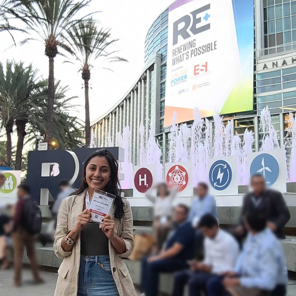
- Megan Dulamal | Business Development Manager – “I love GIS because it can be a fun and creative way to communicate information between different industries, age groups, and geographies.”
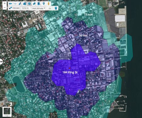
- Christopher Corliss | GIS Application Developer – “GIS can process and display vast amounts of data in a way that everyone can understand… a map! I love how you can extract powerful geographic insights from otherwise overwhelming datasets with simple symbology changes. Empowering users to make pivotal geographic decisions (and avoid costly mistakes) is cool!”
- Kristi Perikly | Client Success Manager – “I love GIS because you can see in an instant what would take paragraphs to explain with words. GIS allows you to blend statistics, science, and art altogether in a helpful and beautiful way.”
- Spencer Johnson | GIS Data Solutions Manager – “I love GIS because you can create beautiful, compelling stories from all sorts of different data. In the arena of math and science, GIS lets you create true pieces of art. I love the versatility of GIS. You can make any data tell a story better whether you’re a geologist, developer, runner, or journalist, by putting it on a map. I was enthralled by maps as a little kid – treasure maps, a map of Disneyland, the Iditarod route – and I love being able to use GIS to create my own.”
- Christopher Nichols | General Manager – “GIS is a universal language for understanding planet Earth and will give you the power to make bigger, faster, and smarter decisions. GIS makes it easy to find an ideal location by combining layers and cool symbologies to create a pattern or insight invisible in ordinary data. Maps are fun and everyone loves them because they are so awesome at telling a visual story.”
- Preston Evans | Geospatial Systems Specialist – “Why I love GIS: I love it because it is tied to almost every part of the world we live in. It helps visualize trends and analysis in a more comprehensive way in context to the country, states, cities, and neighborhoods we live in. I also love it because it empowers the average person to see and think through the lens of a geographer.”
From being inspired as a child to majoring in college, GIS is ingrained into our team’s work and personalities.
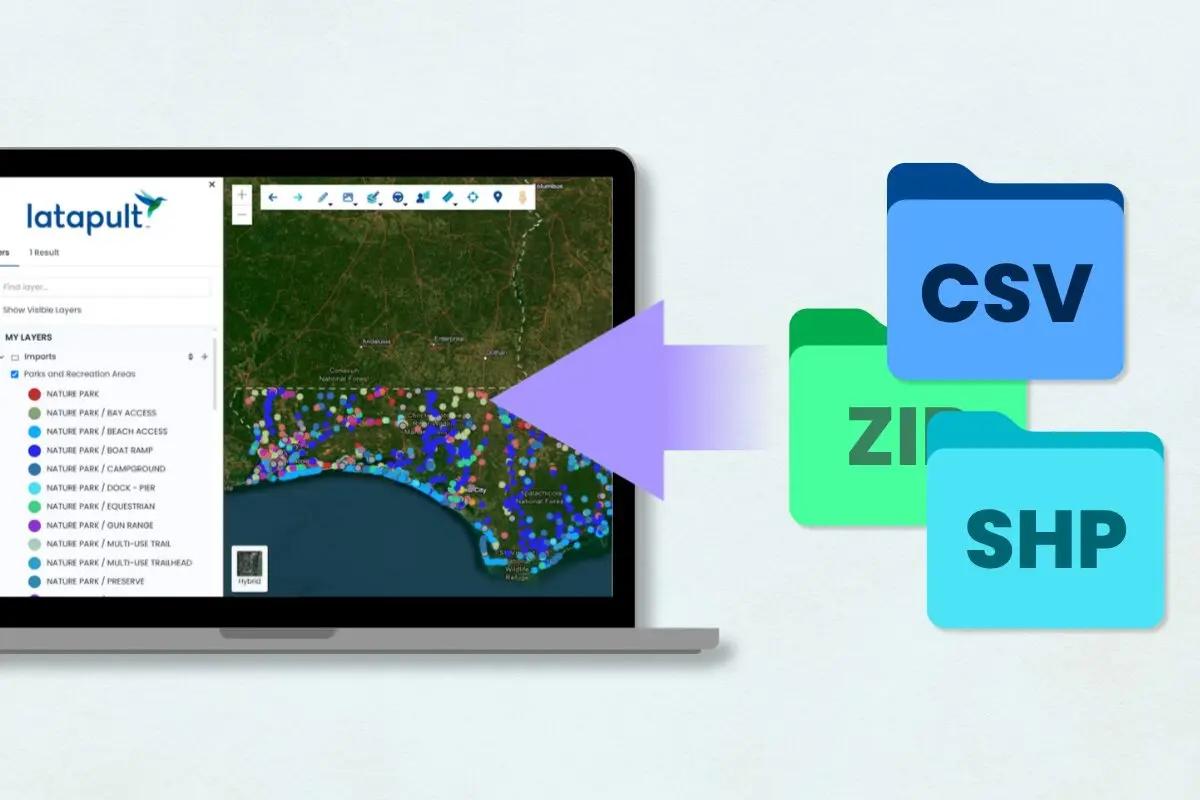
Find out how your business can benefit from Latapult’s GIS mapping tools, too