How GIS Land Mapping Improves Cross-Departmental Collaboration
July 12, 2024
Do you work with a large team and wish there was a better way to connect multiple people across departments who are working on the same site search or project? Have you ever fallen into a hole of miscommunications between internal teams that later impacted the success of a land project? Well, we’re here to help ease that worry. With Latapult, you can keep your project on track by streamlining communications across departments.
Learn why and how solar developers, AEC teams, home builders, land acquisition professionals, and industry leaders like you might use Latapult across company departments to streamline workflows and improve team collaboration — ultimately boosting overall project or site search success.
Why Cross-Departmental Collaboration is a Necessity
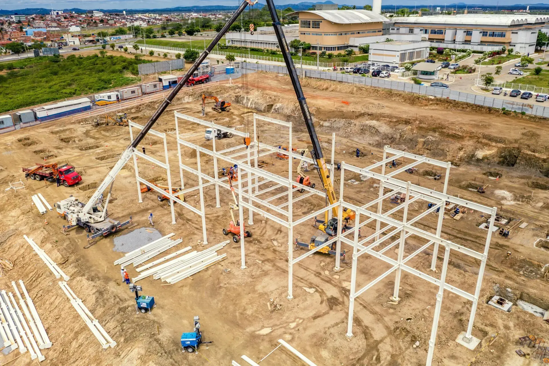
GIS land mapping software like Latapult is designed to help manage land projects from top to bottom and across departments, all in one centralized platform or in step with deeper site design software. Take a solar development team, for example: when looking for the perfect piece of land, using Latapult, they are able to arm their real estate team with the technology to make the research and discovery process easier. The real estate team can then pass off useful information within the app to their development team, who then vets the property and creates a quick land site plan using various Latapult tools and datasets to better determine how it would be built upon. Lastly, field teams are then able to access this quick land plan through Latapult while they are on-site to complete a real-time comparison, get a feel for the land, get true orientation before development begins, and extract site boundaries for use in site design software.
As the plan switches from team to team, each department’s lead can keep track of high-level project data through GIS land mapping to stay up to date and in the know during the site-search process. Our GIS platform eliminates the need for multiple software or is complementary to existing software to ensure full company collaboration and the success of your land project.
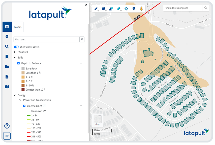
Top Tools for Achieving True Collaboration
The tools within our GIS platform can be used extensively by all departments of the same company. With Latapult, your teams can avoid duplicate sources and instead work from one centralized platform to find and evaluate land. In addition, by using a mapping platform like Latapult, you can cross-collaborate to speed up project timelines – saving both money and time.
Listed below are just a few of the tools that can help enhance your company’s collaboration, making cross-departmental management even easier.
- Search Tools: With Latapult’s array of comprehensive search tools, companies can eliminate the need for detailing instructions on a complex query by saving search parameters and simply sharing them with multiple teams. These tools can help improve team collaboration and manage workflows, especially for industry professionals such as site selectors within the solar or homebuilding industries.
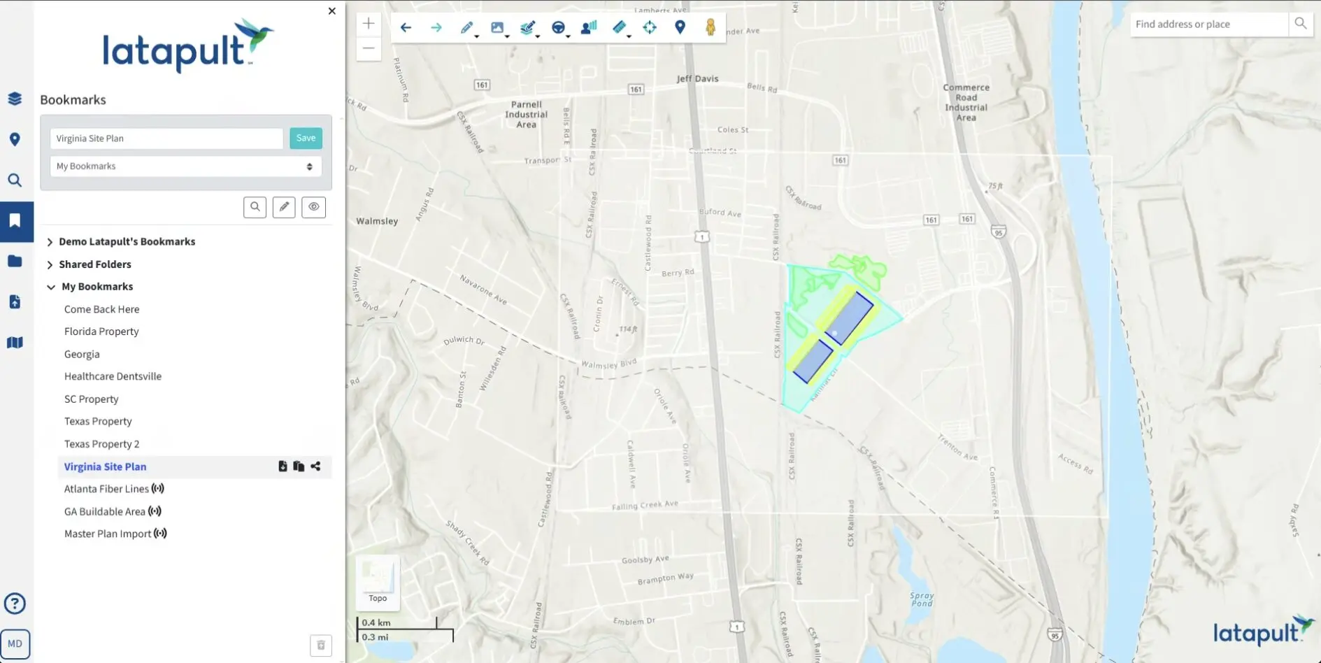
- Bookmarks: Bookmarks can be created with graphics of project boundaries, route lines, etc., and quickly shared with teams in order to avoid needless explanatory emails or phone calls. Bookmarks act like quick communication tools to share project updates across different departments within large companies, like engineering or municipal firms.
- Pins: The pins tool allows users to include attachments, such as PDFs or images, and share them across teams to simultaneously send location information, site details, and documents/photos all in one organized place. For example, project managers can take photo logs of a site and attach them to specific locations within a project so that the team can stay up to date with project progress and know exactly what the land layout looks like virtually without having to be on site.
- Due Diligence Layers: With these data layers, teams can better find and evaluate sites through accelerated research efforts.
- Import Tools: With this capability, users can import a detailed site plan created in an external software into Latapult. This gives teams the ability to then orient themselves visually, either in the office or right in the field.
By using these various tools and data layers, multiple departments within one company can work together from a centralized source to stay up to date on project and site search happenings.
When getting started with Latapult, we offer various package sizes ranging from 3-10+ users so that all departments can benefit from our platform and achieve true collaboration. If more than 10 users are needed, contact our support team to discuss your options.