Identify Environmental Factors in Site Selection with GIS Data
June 4, 2025
When it comes to real estate development and land acquisition, pinpointing environmental factors early on can make or break a project. Overlooking issues such as wetlands, flood zones, protected habitats, or steep slopes can lead to significant delays, cost overruns, and even total project failure. Fortunately, GIS technology is revolutionizing site selection by providing developers with tools to identify and mitigate these challenges early in the process.
Stay ahead of the game and read on to explore how GIS streamlines due diligence, reduces risks, and enhances ROI for real estate developers and land professionals.
Why Environmental Factors Matter in Site Selection
Many environmental constraints are invisible on standard plat maps. These hidden hurdles are known to create unexpected headaches that increase project timelines, budgets, and regulatory complexity. Common land features that may not be immediately apparent include:
- Wetlands: Developing on or near wetlands usually requires permits and expensive mitigation efforts. Wetland delineations can take weeks or months to complete and can cost thousands of dollars. Ignoring these guidelines may result in redesign costs or even regulatory litigation.
- Flood zones: FEMA-designated flood zones impose strict requirements like elevation adjustments and stormwater management systems. Overlooking flood risks can lead to additional insurance costs, regrading efforts, and costly design changes midway through a project.
- Protected habitats: Sites near endangered species or conservation areas require ecological assessments and habitat credits, which can be both time-consuming and expensive. Failure to account for these elements can delay or cancel projects altogether.
- Steep slopes and terrain: Hilly areas often require extensive grading, specialized foundations, and additional erosion control measures. These costs can escalate quickly, turning an otherwise promising site into a financial liability.
Identifying these factors late in the process wastes time and resources and could even render a purchased property unbuildable. GIS mapping tools, however, enable developers to screen for these risks upfront, eliminating unsuitable sites early on to cut costs and time.
Latapult’s GIS Platform Features Simplify Environmental Evaluation
Latapult’s GIS platform offers a suite of tools designed to make site selection smarter, faster, and less risky. Serving as a central hub, the solution aggregates large GIS datasets from various sources into an easy-to-use interface, providing a comprehensive view of properties and their surrounding areas so teams can identify and bypass high-risk sites. Optimizing the site selection process is easy with Latapult’s additional GIS mapping features, including:
1. Environmental Data Overlays: Latapult provides users with a wide array of GIS layers, including wetlands, FEMA flood zones, soil composition, protected lands and habitats, topography and slope analysis.
Developers can activate these layers to instantly visualize potential hazards on any parcel of land, eliminating guesswork or the need for preliminary site visits.
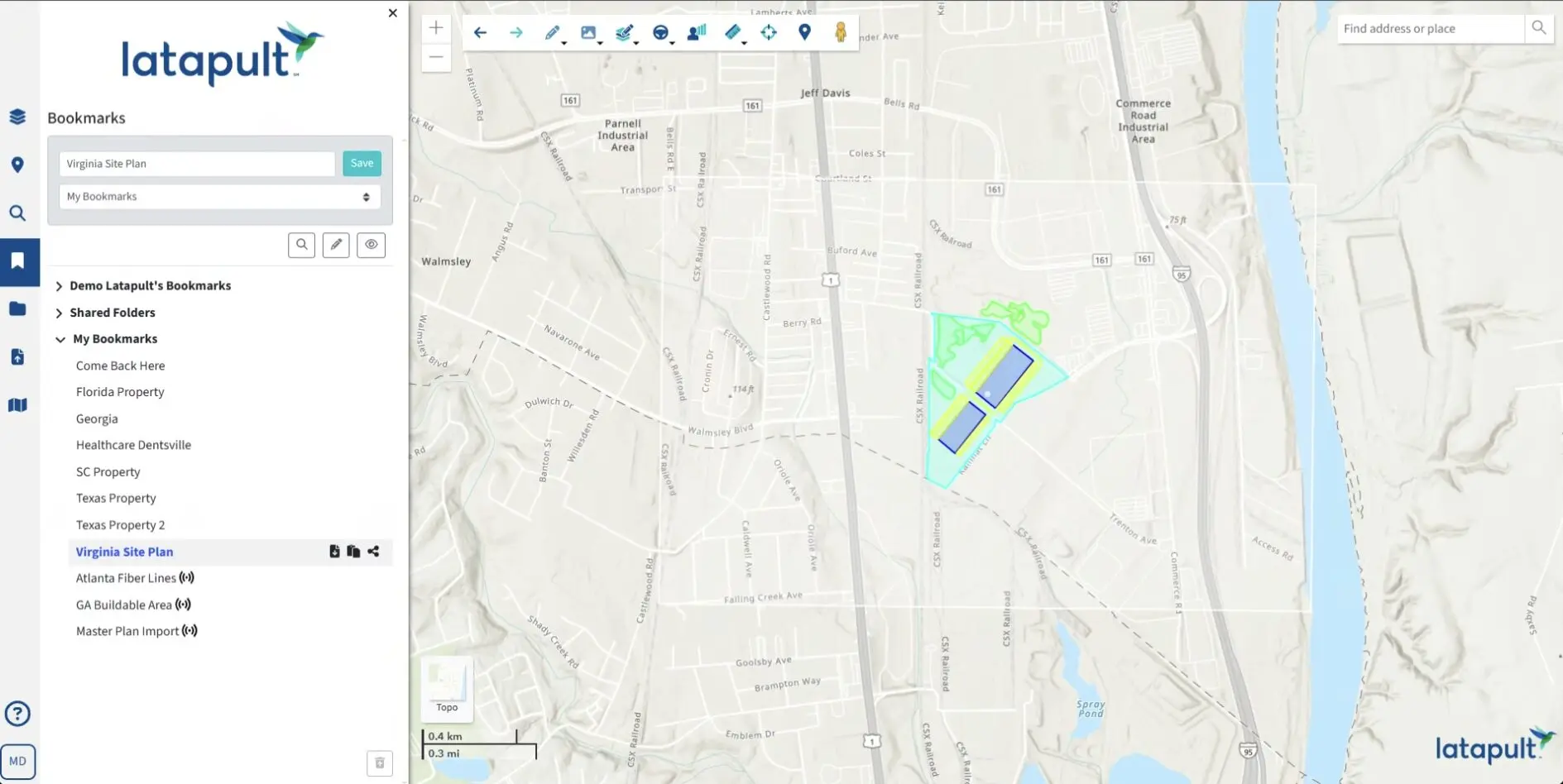
2. Buildable Area Analysis: With the Buildable Area tool, users can draw or select a property boundary and calculate the exact percentage of developable area. Environmentally restricted areas such as wetlands, steep slopes, or floodplains are automatically excluded, providing a visual and numerical breakdown of usable land.
3. Suitability Filtering: Latapult’s advanced search capabilities allow users to define their ideal criteria, such as “no wetlands,” “slope less than 10%,” or “within 2 miles of existing infrastructure.” A curated shortlist of parcels that meet all requirements is instantly generated, replacing weeks of manual research.
4. Collaboration and Data Sharing: Centralizing all site data lets teams save maps, attach project notes, and share findings seamlessly. Collaborative features reduce redundancies and keep every team member aligned, whether in an office or on-site.
Leveraging these complementary Latapult tools to support different parts of the site assessment process makes it proactive rather than reactive. Development teams can move forward with confidence, knowing their projects are free of surprise constraints.
Using Latapult GIS for Site Development Saves Time and Money
In addition to simplifying and enhancing the accuracy of evaluation assessments, integrating Latapult’s solution into site selection workflows delivers time and cost savings. The traditional due diligence process often takes weeks and involves travel, consultant fees, and physical site assessments. Latapult’s rapid GIS analysis reduces this timeline so developers can evaluate dozens of sites in the time it usually takes to vet just one.
Costly mistakes add up quickly. Overlooking a wetland or flood zone can derail projects and blow budgets. Reducing the risk of mistakes upfront prevents pricey surprises before they occur and gives teams data-driven confidence.
With convenient access to data across the board, stakeholders — from clients to architects to construction teams — can work from the same set of insights. The improved alignment boosts communication and reduces the likelihood of duplicated work. Teams that don’t have to worry about backtracking can properly focus their attention and resources on land with the highest potential for profitability. Ultimately, helping to keep projects on track and within budget, ensuring stronger ROI.
Explore the Future of Site Evaluation with GIS
The land development landscape is becoming increasingly competitive, with environmental regulations and limited land availability posing significant challenges. The utilization of innovative tools like GIS platforms differentiates the companies that go the extra mile from the ones that don’t. Success comes down to having the critical components of modern site evaluation at your fingertips.
Environmental considerations are too important to overlook. In the current economic climate, no one can afford to make missteps that snowball into disaster. Accelerating site selection through streamlined processes helps maximize profitability from day one. Take control of your next project’s success, and request a free demo of Latapult’s GIS mapping tools today.


