
Empower Your Next Project with Smarter GIS Data Importing
July 31, 2026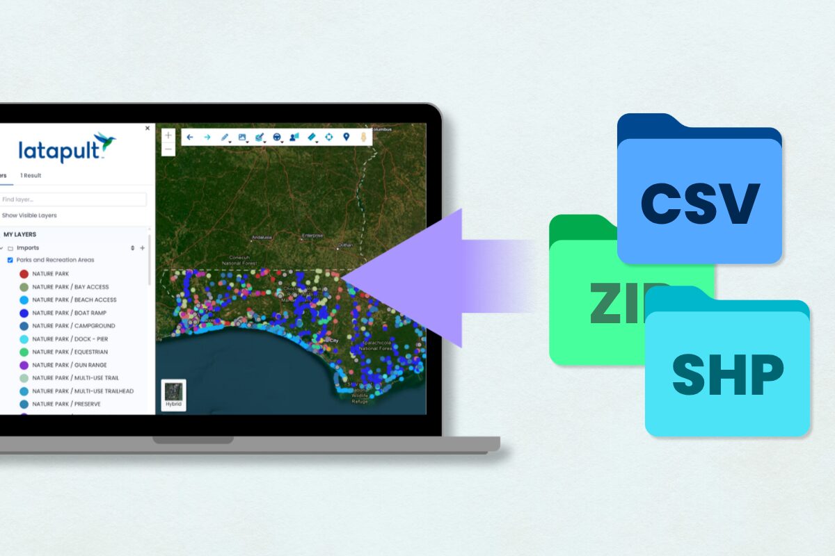
Latapult’s geographic information system (GIS) software, Regions and Regions Plus, gives users faster, more connected access to land intelligence. This blog breaks down three features: live web services, improved import functions, and new custom GIS project tracking layers, and explains how each helps land development teams move from static maps to real-time, collaborative workflows.
Key Takeaways
- Live web services and improved import functions are available to every Latapult user, giving Regions and Regions Plus users direct access to real-time, authoritative land intelligence.
- Regions Plus users can build custom, editable GIS project-tracking layers to manage shared datasets across teams within a single workspace.
- Latapult’s tiered product suite, Regions, Regions Plus, and Custom Enterprise scale alongside growing organizational needs for further GIS workflow customization.
Rapid, data-backed decisions separate successful land development projects from costly delays. In an industry where speed and accuracy dictate project viability, relying on outdated spatial information leads to misinformed site evaluations, costly permitting delays, and misaligned teams.
When Latapult launched Regions Plus, it introduced advanced technical operations and editable GIS layers built for organizations managing complex development projects. This launch was bolstered by Latapult’s smart importing functionality designed to simplify workflows and deliver consistently accurate GIS data.
Live web services and improved import functions are available to every Latapult client across both Regions and Regions Plus subscription levels. These features empower clients to connect directly to authoritative datasets and import complex spatial information with full attribute visibility, giving clients the confidence to make faster, validated business decisions.
Import Live Web Services for Real-Time GIS Data
Delayed information remains a top bottleneck in real estate acquisition and land development. To solve this issue, Regions and Regions Plus users can connect directly to live web services from local governments, utility centers, available data sources, and more. These live connections eliminate the need to download, manage, and re-upload large, static files by ensuring datasets are imported automatically.
When a local municipality updates its records, Latapult’s GIS software immediately reflects those changes. Development teams can use these direct integrations to:
- Connect directly to county databases to map new construction permits.
- Import live utility web services to evaluate water and sewer infrastructure.
- Access state open-data portals to track transportation and airport corridors.
Get Full Attribute Visibility with Improved Import Functions
Working with third-party datasets often creates a visibility gap. In typical workflows, imported files show only basic geographic boundaries, stripping away crucial underlying properties.
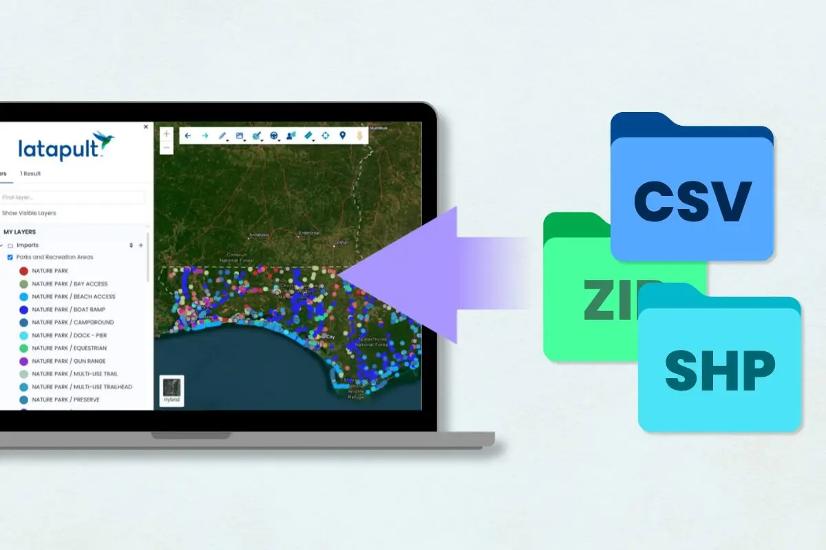
Latapult’s upgraded import functionality restores full attribute visibility for these files across standard formats, including CSV, DWG, KML, KMZ, ZIP, SHP, GeoJSON, and JSON. Regions and Regions Plus clients can turn once static files into usable GIS data layers by importing them into their existing land intelligence projects. Use this feature for:
- Zoning: Import a zoning file to instantly see specific zoning codes for each boundary on the map.
- Site Selection: Load an environmental shapefile from a state website to view additional project limitations and opportunities.
- Homebuilding: Import a permit CSV with latitude and longitude coordinates to plot locations and view details alongside Latapult’s parcel attribute information for every point on the map (ex., lot inventory with sales information).
Build Custom GIS Tracking Layers for Project Tracking
Complex development pipelines require seamless communication between land acquisition specialists, operational directors, and civil engineers. With Latapult’s advanced GIS operations, cross-functional teams can track, update, and style projects together in a single, shared workspace.
Available exclusively to Regions Plus clients, custom GIS tracking layers allow these teams to maintain editable geospatial data, build light workflows, and use customized symbology to keep shared datasets clean and actionable. For organizations requiring centralized spatial databases and custom enterprise architecture, Latapult offers a Custom Enterprise tier.
Scale Technical Workflows Globally
As clients’ land development pipelines grow, Latapult scales alongside their organizational needs. Regions Plus is designed for organizations that need connected datasets and advanced operational workflows, featuring:
- Additional GIS layer imports.
- Additional web service integrations.
- Shared editable layers across teams.
Custom Enterprise provides a fully customized GIS environment for large-scale operations, including:
- Dedicated enterprise GIS architecture and centralized spatial databases.
- Custom GIS applications and enterprise integrations.
- Unlimited bookmark sharing with external clients.
- Branded public-facing GIS maps.
This tiered approach ensures that no project becomes too large for clients to tackle.
Power Faster, More Accurate Land Decisions
Harnessing live data feeds, granular file imports, and custom tracking layers ensures that land intelligence remains fast and accurate, no matter how a project evolves. The future of infrastructure and homebuilding belongs to organizations that treat spatial data not as a static map, but as a living operational layer.
By leveraging these technical upgrades from Latapult, clients can streamline their site evaluation processes and move new projects forward with confidence. Watch this walkthrough from Client Success Manager, Kristi Perikly, to see them in action:

Book a call to learn more about these features and find out which Latapult product is right for your organization.
Frequently Asked Questions
-
What is land discovery software?
Land discovery software helps organizations identify, research, and evaluate land opportunities using GIS mapping, parcel data, ownership information, and location-based analysis tools. Latapult Regions combines these capabilities in a single platform designed for land-focused workflows.
-
What should I look for in land acquisition and development software?
Latapult offers two GIS software products for land discovery, acquisition, and development: Regions and Regions Plus. Regions Plus builds on the land intelligence capabilities available in Regions by adding editable GIS layers, shared operational datasets, project-tracking tools, connected data services, and advanced workflow management for organization-wide land operations.
-
What types of GIS datasets are available in Latapult?
Latapult’s Regions and Regions Plus provide access to more than 250 GIS datasets, including environmental, infrastructure, demographic, planning, and location-based data, helping teams better understand land opportunities and surrounding conditions.
-
What file formats can I import into Latapult?
Latapult’s Regions and Regions Plus support a wide range of formats, including CSV, DWG, KML, KMZ, ZIP, SHP, GeoJSON, and JSON.